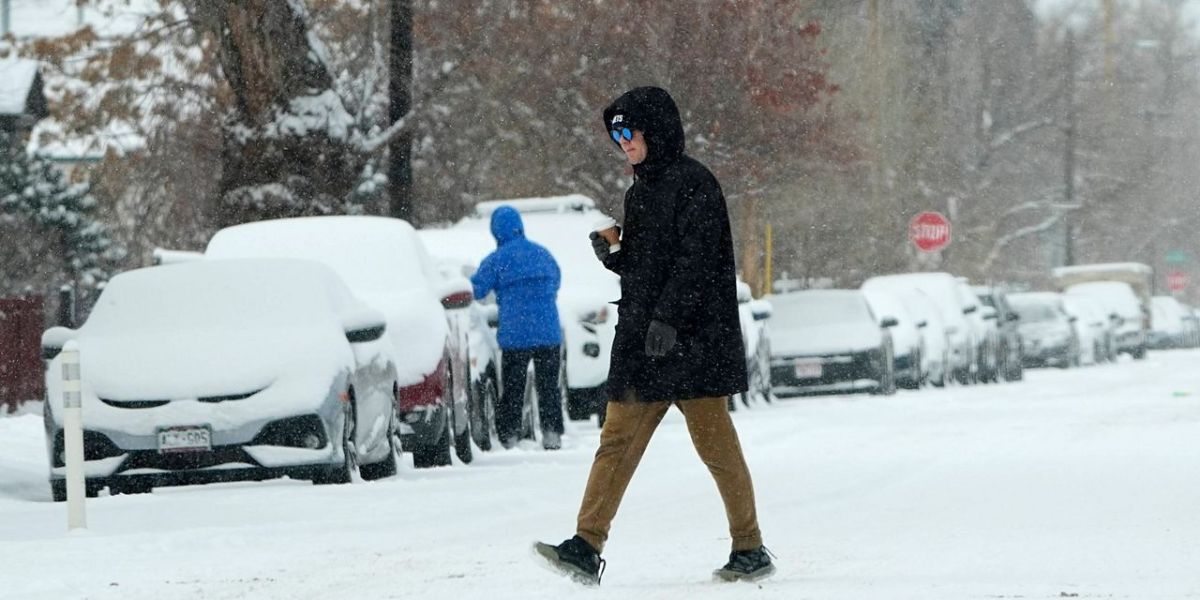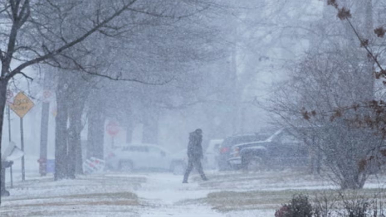
New York – Winter’s snow machine is set to remain active across the Northeast and Great Lakes this week as a series of storm systems move through the region, bringing repeated rounds of snow, plunging temperatures, and dangerous wind chills. Arctic air surging southward behind these systems will push temperatures well below normal across much of the eastern half of the United States.
Forecasters warn that the combination of accumulating snow, strong winds, and extreme cold could create hazardous travel conditions and life-threatening wind chills for millions.
Round 1: Snow and Wind Through Thursday
The first storm system is already sweeping across the Midwest and East, with the most significant impacts focused on the Great Lakes region. Snow will linger into interior portions of New England on Thursday, while much of the East remains dry but bitterly cold.
The heaviest snowfall is expected downwind of the Great Lakes and into parts of Ontario. Areas along Lakes Erie and Ontario — from Cleveland through northern New York — could see totals exceeding 5 inches. Higher elevations of the Appalachian Mountains, generally above 3,000 feet, are forecast to receive several inches of snow.
Elsewhere, lighter but more widespread snowfall of 1 to 3 inches is expected from the Midwest through the Ohio Valley and into interior New England. Forecast models continue to keep this first round of snow away from the heavily traveled I-95 corridor.
Round 2: Another Snowmaker Thursday Through Saturday
A second storm system will arrive Thursday, first impacting the Midwest and Great Lakes before shifting eastward. Many of the same locations affected by the first round will see additional snowfall, further adding to already rising totals.
As this system moves toward the Northeast late Friday into Saturday, there is a growing possibility that accumulating snow could reach the I-95 corridor, potentially affecting major cities and transportation hubs. Forecast confidence remains low, as models differ on the exact track and intensity, but messy travel conditions and possible airport delays cannot be ruled out.
Lingering snow may persist across parts of the Northeast through Sunday, even after the system exits.
Arctic Air Brings Dangerous Cold and Wind Chills
While snowfall amounts are still being refined, confidence is high that temperatures will plunge sharply. Highs on Thursday are expected to remain in the teens across the Great Lakes, the 20s in the Ohio Valley, and struggle to reach the 30s across parts of the Southeast.
Behind the cold front, strong winds will dramatically worsen conditions. Wind chills could fall to 20 to 35 degrees below zero across portions of the Northern Plains. Even cities such as Pittsburgh and New York City are expected to experience wind chills in the single digits and teens, creating dangerous exposure risks.
Round 3: More Snow Possible on Sunday
Winter is not finished yet. Toward the end of the weekend, two additional systems may reinforce the cold air and deliver another round of snow to the Midwest, Great Lakes, and Northeast.
One system is expected to move from central Canada across the Great Lakes and into eastern Canada, producing generally lighter snowfall but continuing lake-effect activity in favored snowbelt regions.
The second system may emerge from the Southeast and could develop into a coastal low offshore. While the chance remains low, a stronger storm could bring snow and gusty winds to parts of the I-95 corridor. Some forecast models are even beginning to signal accumulating snow for portions of the South.
Weekly Snow Totals Could Reach a Foot or More
By the end of the week, some areas across the Great Lakes could see up to 18 inches of total snowfall, with more widespread regions picking up at least a foot. A notable band of snow is also expected along the Appalachian Mountains, where higher elevations could receive more than a foot in some locations.
Forecasters say details will continue to be fine-tuned as the week progresses, especially regarding snow amounts and storm tracks. Residents across affected regions are urged to monitor forecasts closely as conditions evolve.