Green Bay, Wisco. – After a pleasant and mild afternoon, residents across Wisconsin and parts of the Upper Peninsula are being warned to prepare for rapidly changing weather conditions through the rest of the week. Forecasters say clouds, precipitation, and strengthening winds will usher in a colder and more unsettled pattern, with slippery travel possible overnight and dangerous wind chills by midweek.
While temperatures will briefly rise above normal, the warmer air will be short-lived as a strong cold front pushes through, bringing much colder air, gusty winds, and additional chances for snow.
Tonight: Clouds Increase With Wintry Mix North
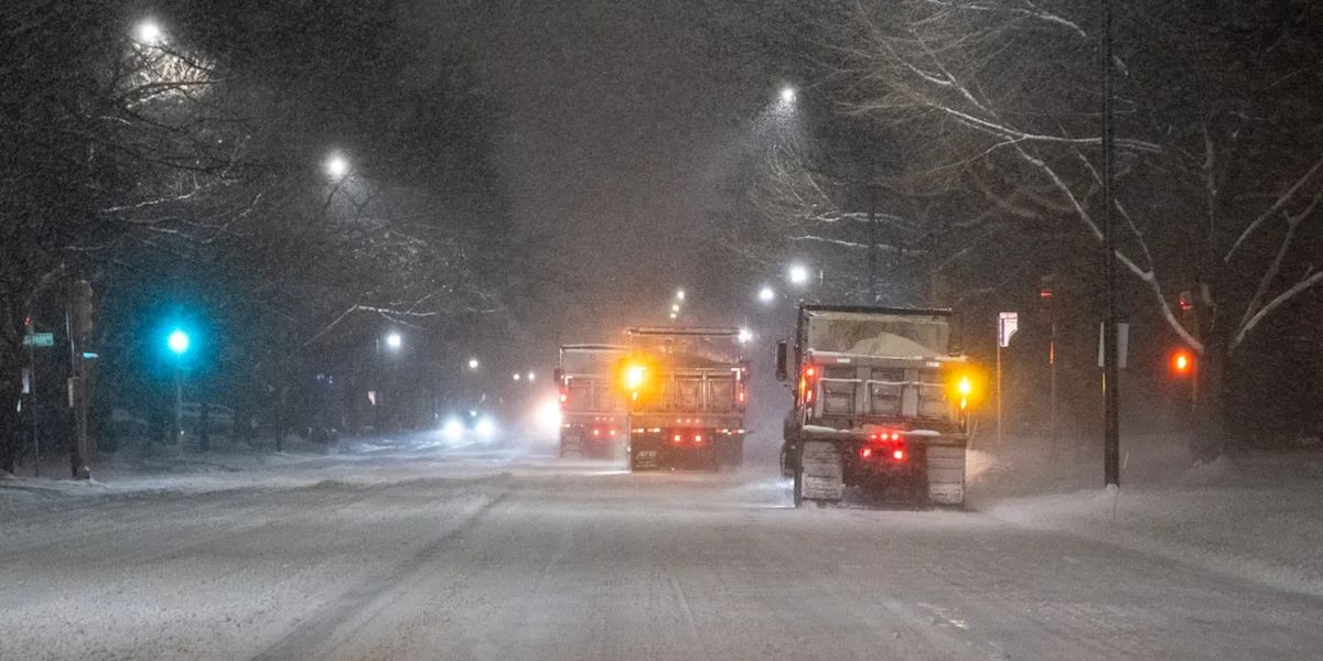
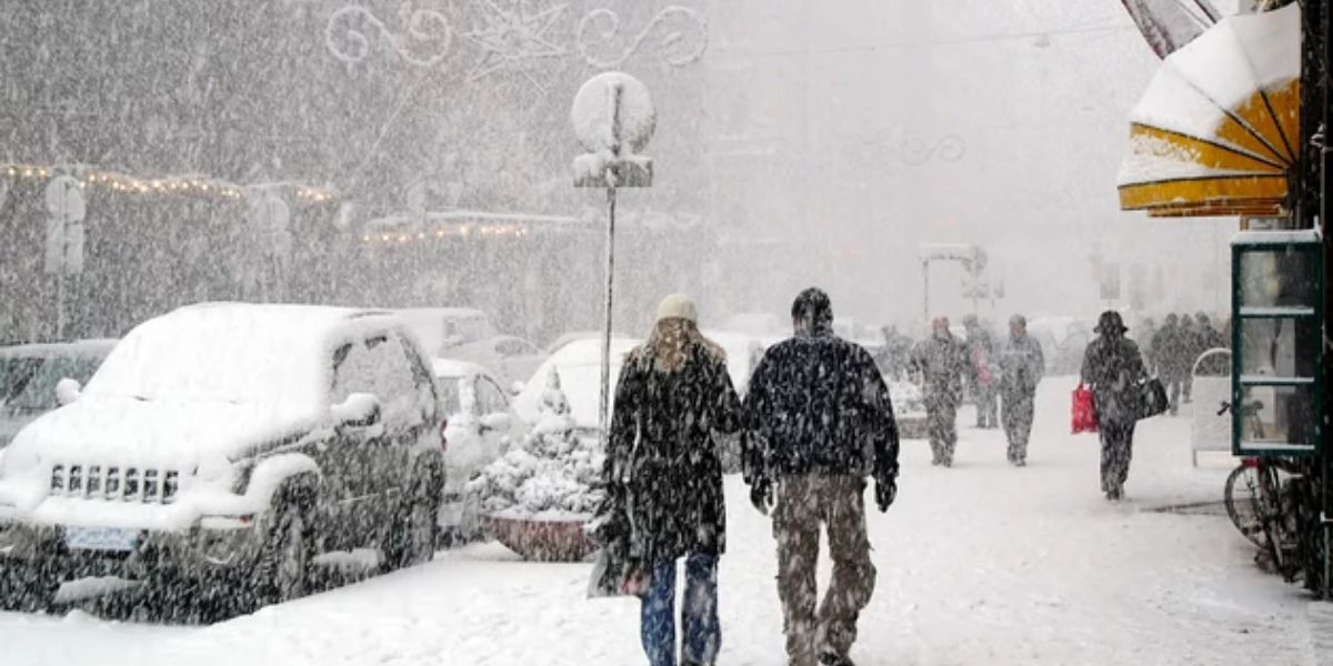
Conditions will start off clear early this evening, but cloud cover is expected to increase shortly after sunset as a weak weather system moves into the region. That system will bring a chance for rain, and in colder northern areas, freezing drizzle or light snow may develop.
Forecasters say snow and ice accumulations should remain minimal, but even small amounts could be enough to create slick and slippery travel, particularly on untreated roads, bridges, and overpasses. Motorists traveling north late tonight or early Tuesday are urged to use caution.
Winter Weather Advisory Details
A WINTER WEATHER ADVISORY has been issued from 2 a.m. through 9 a.m. Tuesday for Langlade County, northern Oconto County, Marinette County, and areas extending into the Upper Peninsula.
The advisory highlights the potential for light icing and snow, especially during the early morning hours when road temperatures are coldest. Officials warn that even a thin glaze of ice can significantly increase the risk of accidents during the morning commute.
Tuesday Morning and Afternoon Outlook
The wintry mix may linger into the early morning hours Tuesday, particularly in advisory areas, before gradually tapering off. For most of the day, conditions are expected to remain cloudy and breezy, limiting sunshine.
Despite the clouds, very mild air will move in on strong winds, allowing high temperatures to climb into the low to mid-40s, which is above average for this time of year. Winds will be a key factor, with gusts reaching 25 to 30 mph, making it feel cooler at times and potentially impacting high-profile vehicles.
Cold Front Brings Abrupt Change Tuesday Evening
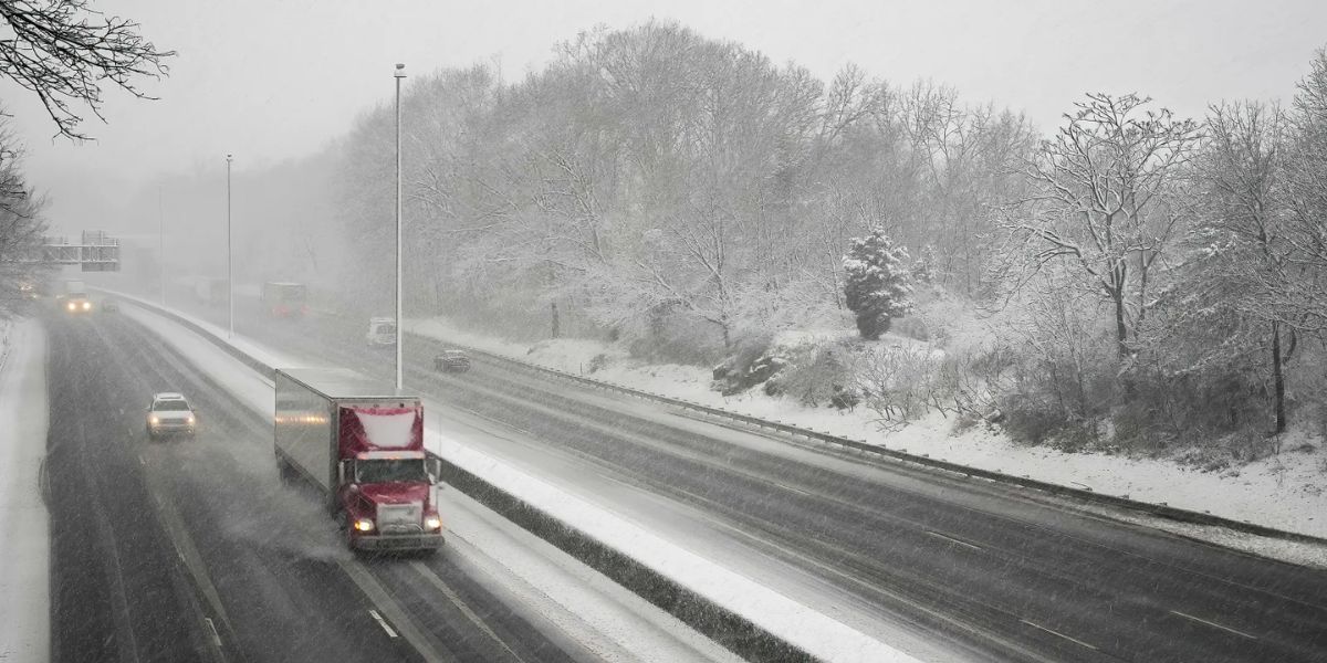
The mild conditions will not last. A cold front is expected to move through Tuesday evening, first bringing a chance for a passing rain or snow shower. As the front clears the area, it will open the door for much colder air to pour in.
This system will also strengthen winds even further, setting the stage for blustery and sharply colder conditions through the middle of the week. Temperatures are expected to fall quickly Tuesday night, increasing the risk of refreezing on any wet road surfaces.
Wednesday: Windy and Much Colder
Wednesday will mark a dramatic shift in the weather pattern. Forecasts call for mostly cloudy skies and very strong winds, with gusts potentially reaching 40 mph.
Daytime highs are expected to struggle, topping out only in the low 20s, a sharp contrast to Tuesday’s mild temperatures. The combination of cold air and strong winds will result in dangerously cold wind chills, making it feel significantly colder than the actual air temperature.
Residents are advised to dress in layers, limit prolonged outdoor exposure, and secure loose outdoor items that could be blown around by strong winds.
Thursday: Cold and Breezy Continues
The cold pattern will continue into Thursday, with a mix of sun and clouds and breezy conditions lingering across the region. High temperatures are expected to remain in the low 20s, offering little relief from the cold.
While snowfall is not expected to be widespread on Thursday, lingering wind and cold air will keep winter firmly in control and may lead to patchy blowing snow in open areas.
Late-Week Snow Chances
Attention then turns to the end of the week, as a weak weather system is expected to move through the region Friday into Saturday. This system could bring scattered, on-and-off snow showers, with a few inches of accumulation possible in some areas.
Forecasters note that confidence in exact snowfall totals remains low, but residents should be prepared for changing road conditions heading into the weekend, particularly during overnight and early morning hours.
Share your experiences in the comments below.