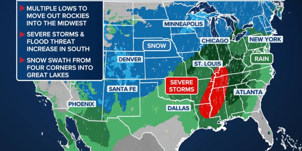
Phoenix, AZ – Arizona experienced a chilly Wednesday, as the first of two winter storms arrived, bringing rain showers, snow in higher elevations, and cooler temperatures across the state. The Valley saw its coldest high of the season, reaching only 60 degrees, while the high country began receiving rain that will turn to snow overnight, particularly along the Mogollon Rim.
Forecasters warn that a second storm, arriving from the northwest on Thursday, will bring heavier rainfall, mountain snow, and gusty winds, creating travel hazards and prompting winter weather advisories in some areas.
First Storm Overview
Wednesday brought light rain showers to much of the Valley, beginning in the late afternoon, while southern Arizona saw more consistent rain throughout the day. Overnight lows are expected to dip into the low 50s, marking a notable drop in temperatures for the season.
In the higher elevations, precipitation is expected to turn to snow overnight, with dusting to 1.5 inches along the Mogollon Rim. The combination of snow and cold overnight temperatures may create slick conditions for early-morning travelers.
Second Storm Arriving Thursday
We have been enjoying a mild start to 2026, but a pattern change is in store by the middle of this week which will bring unsettled weather and much cooler temperatures to the region. Stay tuned for updates! #azwx #cawx pic.twitter.com/cdirRw2kcD
— NWS Phoenix (@NWSPhoenix) January 6, 2026
Thursday morning is expected to start mainly dry across the state, but the second storm system will move in from the northwest during the day. Forecasters predict:
- Heavy snow in the mountains, particularly northern and eastern Arizona
- Heavier rainfall in the Valley, with the potential for localized flooding in areas under thunderstorms
- Strong winds, producing blowing and drifting snow and low visibility in affected regions
Winter weather advisories remain in effect for the Mogollon Rim, with road conditions expected to deteriorate by Thursday evening. Drivers are advised to exercise caution, particularly in higher elevations and areas prone to snow accumulation.
Later This Week: Clearing and Cold Air
The second storm is expected to exit Arizona by Friday morning, allowing for drying conditions statewide. However, lingering impacts will remain:
- Icy roads in northern Arizona due to residual snow and cold air
- Gusty winds, with speeds of 35-45+ mph in areas such as Flagstaff and Show Low, and 25-35 mph gusts in the Phoenix area
Temperatures will remain cool for the rest of the week, with highs in the low 60s across Phoenix through Friday. Weekend lows are expected to fall to the low 30s to near 40 degrees, with highs rebounding to the upper 60s to near 70 degrees.
Precipitation and Snow Totals
Forecasters provided expected totals for the two storms:
- Rain in Phoenix and surrounding areas: 0.25″–0.50″, with higher totals possible in localized thunderstorms
- Snow accumulation:
- Flagstaff: 3–5 inches
- Arizona Snowbowl: 12+ inches
- Sunrise Ski Area: 1–2 feet
- Pinetop-Lakeside: 4–8 inches
Travelers are advised to monitor road conditions and plan for potential delays, particularly in the mountains and high-elevation areas.
Public Safety and Preparedness
Authorities remind residents to:
- Drive cautiously in wet or icy conditions
- Prepare for sudden changes in weather, especially in higher elevations
- Secure outdoor objects that could be affected by strong winds
- Check for localized flood warnings or advisories
“While the snow and rain may be brief in certain areas, visibility and road conditions could become hazardous,” local meteorologists said, urging caution during morning and evening commutes.
Conclusion
Arizona faces a week of cooler temperatures, rain, and snow as a two-storm system impacts the state. Residents and travelers are advised to stay updated on weather alerts, exercise caution on the roads, and prepare for gusty winds, icy patches, and localized flooding in the Valley and high country.
Share your experiences in the comments below.