Chicago, IL – Chicago saw a mild January day with afternoon highs in the lower 40s, running about 10 degrees above average for this time of year. The warmer conditions offered a brief break from winter cold, but forecasters say a noticeable shift is ahead as colder air and snow chances move into the region.
Skies are expected to turn partly cloudy overnight, with low temperatures dropping into the low to mid-30s, setting the stage for changing conditions through the rest of the week.
Mild Conditions to Start the Week
Monday’s temperatures remained well above seasonal norms, making it feel more like late winter than mid-January. The mild air mass helped keep roads clear and travel relatively easy across the city and surrounding suburbs.
As the evening progresses, clouds will gradually increase, though no precipitation is expected overnight. Winds will remain light to moderate, preventing temperatures from falling sharply despite the overnight cooling.
Tuesday Forecast: Warmer but Breezy
Tuesday is expected to begin with more clouds than sunshine, but conditions should gradually improve as the day goes on. Forecasts call for skies to become partly cloudy, with afternoon highs climbing to around 50 degrees, making it the warmest day of the week.
However, the warmth will come with gusty west-southwest winds, which may make it feel cooler at times and could impact high-profile vehicles on area roadways. The breezy conditions are also a signal of the approaching cold front that will bring much colder air into the region.
Tuesday Night Conditions
Cloud cover is expected to persist into Tuesday night, keeping temperatures from dropping too quickly. Overnight lows are forecast to remain in the mid-30s, which is still above normal for mid-January.
While no snow or rain is anticipated during the night, drivers and commuters should be aware that changing air masses can lead to rapidly shifting conditions by Wednesday morning.
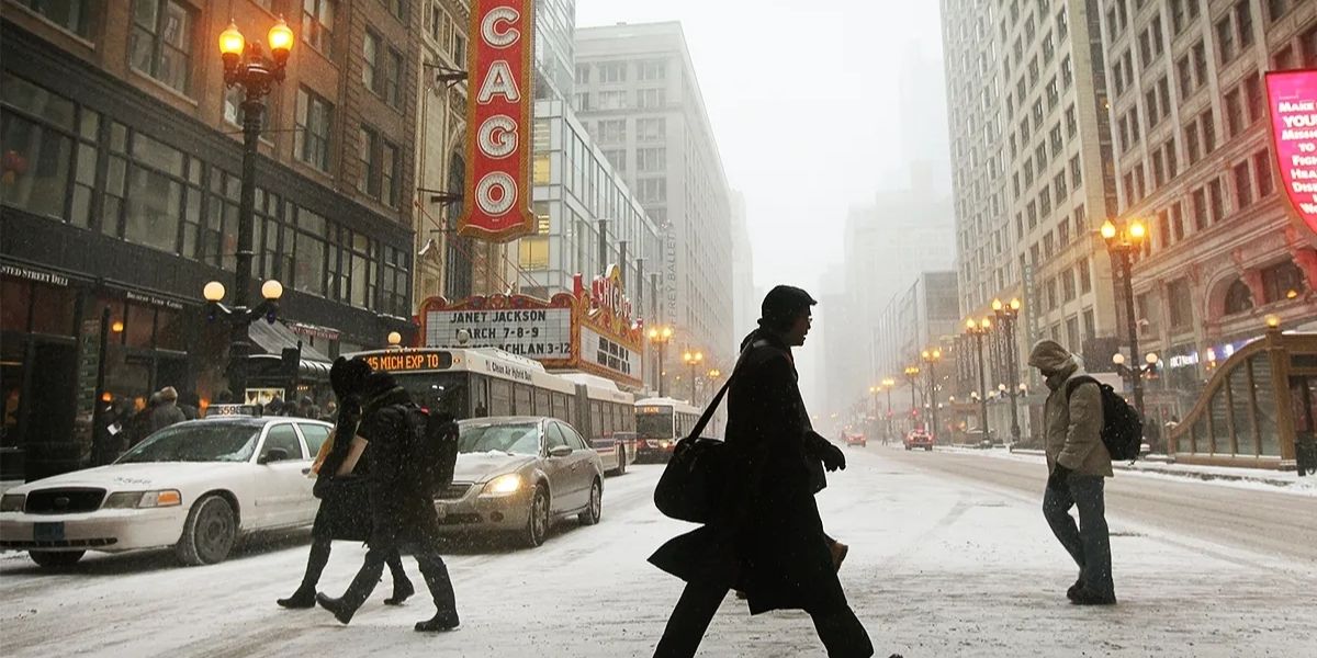
Wednesday: Sharp Temperature Drop
A significant change arrives on Wednesday as much colder air moves into the Chicago area. Morning temperatures in the upper 30s will steadily fall throughout the day, with afternoon readings settling into the low 30s.
This falling temperature pattern can be particularly impactful, as roads that are wet from earlier moisture or condensation may begin to refreeze. Meteorologists caution that even without heavy snowfall, colder air can quickly create slick spots on bridges and overpasses.
Snow Showers and Travel Impacts
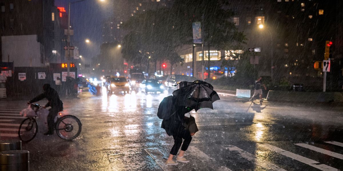
Forecasters say scattered, wind-whipped snow showers are possible Wednesday afternoon. While widespread accumulation is not expected at this time, these fast-moving snow showers could briefly reduce visibility and create temporary travel impacts, especially during peak commute hours.
Drivers are urged to slow down and allow extra stopping distance if snow showers move through the area.
Lake Effect Snow Potential
By Wednesday evening into early Thursday morning, attention will turn to the potential for a more organized lake effect snow event, particularly across Northwest Indiana and areas closer to Lake Michigan.
Lake effect snow can produce narrow but intense bands of snowfall, meaning some locations could see heavier snow while others receive little or none. Forecasters say they will be watching closely to determine where the heaviest bands may set up, as even small shifts can significantly change local impacts.
Safety and Awareness
With temperatures dropping and snow chances increasing, residents are encouraged to prepare for winter conditions later this week. Weather officials recommend checking forecasts regularly, dressing in layers, and ensuring vehicles are winter-ready.
Allowing extra travel time, especially during early morning and evening commutes, can help reduce the risk of accidents as conditions change.
Conclusion
Chicago’s weather will transition quickly from mild, above-average temperatures to a more typical winter pattern featuring colder air and snow chances by midweek. While impacts remain uncertain, residents should stay alert and prepared as forecasts continue to evolve. Share your experiences in the comments below.