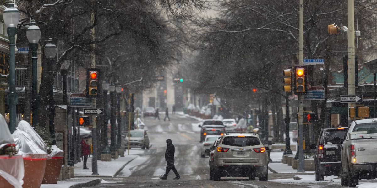
Omaha, NB – Thursday and Friday have been designated impact weather days for the Omaha region, with widespread rain and the potential for accumulating snow expected across eastern Nebraska and western Iowa, according to Omaha’s Weather Leader. Forecasters say changing precipitation types and fluctuating temperatures could affect travel, particularly from Thursday evening into Friday night.
While significant snow accumulation is not expected for most areas, officials warn that wet roads, brief snow cover, and changing conditions could still create hazards.
Weather Overview for Thursday
As of Wednesday’s forecast, Thursday is expected to bring widespread rain throughout the day, especially around and south of Interstate 80. Rainfall totals are projected to range from 0.25 inches to as much as 1 inch, depending on location and rainfall intensity.
Meteorologists say the rain will arrive during daylight hours, leading to wet roadways and reduced visibility, particularly during the morning and afternoon commutes. Temperatures during the day are expected to remain above freezing, which should limit winter weather impacts early on.
However, conditions will begin to change as temperatures cool later in the day.
Rain-to-Snow Transition Thursday Night
By Thursday evening into Thursday night, forecasters expect a transition to a rain and snow mix across parts of the region. The best chance for this transition will be near and north of the Omaha metro area, where cooler air is more likely to move in.
Despite the possibility of snow, surface temperatures are forecast to remain above freezing, which should limit accumulation on roads. Any snow that does fall is expected to accumulate mainly on grassy or elevated surfaces.
Current projections suggest a trace to around 1 inch of snow, primarily north of Omaha, with minimal impacts expected for most drivers. Still, brief bursts of snow could reduce visibility and create slick spots, especially on bridges and overpasses late at night.
Friday Snow Outlook
Looking ahead to Friday, the weather pattern appears to calm somewhat during the day. Forecasters say Friday is trending drier for most of the daylight hours, which should help crews and commuters recover from Thursday’s wet conditions.
However, the quiet weather may be temporary.
There remains a chance for light snow Friday night, especially south of the Omaha metro area. Any snowfall during this period is expected to be light, with most accumulations staying under 1 inch.
While totals are expected to be minor, officials note that even small amounts of snow can create localized travel issues, particularly if temperatures dip closer to freezing overnight.
What This Means for Travel
With impact weather days declared, residents are encouraged to remain alert to changing conditions. Rainfall on Thursday could lead to:
- Slick roads and reduced traction
- Ponding of water in low-lying areas
- Slower commute times
As precipitation changes to snow later Thursday and into Friday night, drivers should be cautious of:
- Brief periods of reduced visibility
- Snow accumulation on grassy or untreated surfaces
- Potential slick spots late at night and early morning
Even minimal snow can be problematic if it falls during peak travel hours or combines with colder pavement temperatures.
Those with outdoor plans should prepare for wet and chilly conditions, particularly Thursday evening and overnight.
Looking Ahead
While no major winter storm is expected, forecasters emphasize that this system is notable for its widespread rain and potential snow, especially given how quickly conditions may change over a short period.
Officials say continued monitoring will be important, as small temperature shifts could affect where snow develops and how much accumulates.
Conclusion
Thursday and Friday are shaping up to be impactful weather days across the Omaha region, with widespread rain, a rain-to-snow transition, and light snow potential into Friday night. While snow accumulations are expected to remain limited, changing conditions could still impact travel and daily routines.
Residents are encouraged to stay weather-aware and plan accordingly as this system moves through eastern Nebraska and western Iowa.
Share your experiences in the comments below.