Newark, NJ – Snow alerts were issued Sunday afternoon across six northern New Jersey counties, as snow squalls, gusty winds, and rapidly changing visibility raised concerns for motorists through the early evening hours.
The National Weather Service (NWS) warned that brief but intense snow showers could create dangerous driving conditions, particularly along and north of the Interstate 80 corridor, before weather conditions begin to improve later Sunday.
Weather Overview
According to the National Weather Service, scattered snow showers developed Sunday afternoon, affecting large portions of northern New Jersey. Forecasters said some of these snow showers had the potential to intensify into snow squalls, which are known for producing sudden bursts of heavy snow, strong winds, and sharp visibility reductions.
“Scattered snow showers are occurring near and north of the Interstate 80 corridor,” the National Weather Service said in a special weather statement. “These showers are capable of producing brief periods of heavy snow which can rapidly reduce visibility to less than 1 mile and lead to accumulation of snow on untreated roads.”
Meteorologists emphasized that snow squalls are especially dangerous because they can form quickly and dissipate just as fast, often giving drivers little time to react.
Counties and Cities Affected
The snow alerts were issued for portions of Bergen, Essex, Passaic, Sussex, Warren, and Morris counties, remaining in effect through 6 p.m. Sunday. Cities and communities impacted by the alerts include Newark, Paterson, Hackensack, Morristown, Parsippany, Wayne, Montclair, West Milford, Newton, Phillipsburg, and surrounding areas.
While the alerts do not constitute a formal winter storm watch or warning, officials stressed that the conditions described still warrant heightened awareness, particularly during periods of heavier snowfall.
Visibility and Road Conditions
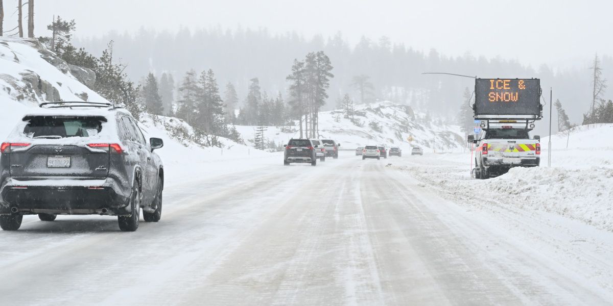
The National Weather Service warned that visibility could drop rapidly in heavier snow showers, in some cases falling to less than one mile within minutes. Combined with gusty winds, blowing snow could further obscure roadways and create localized whiteout conditions, especially on open highways and elevated surfaces.
“Be prepared for rapidly changing visibilities in the heavier of the snow showers,” the weather service said.
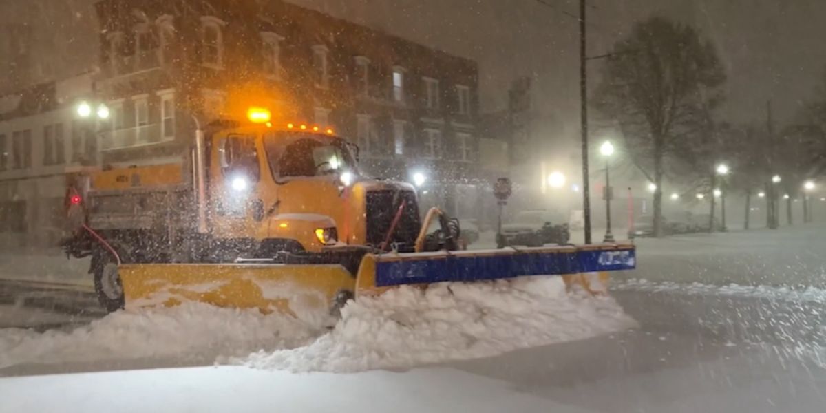
Untreated roads, bridges, and overpasses were expected to become slick very quickly, even if pavement appeared clear earlier in the afternoon. Officials noted that snow squalls can cause flash accumulations, where snow builds up faster than road crews can apply salt or plow affected areas.
Safety and Travel Concerns
Transportation officials urged drivers traveling in the affected counties and cities to slow down, increase following distance, and avoid sudden braking. Motorists were also advised to keep headlights on during snow showers and remain alert for rapidly changing conditions, especially during the late afternoon and early evening commute.
Officials stressed that even though these alerts are not formal warnings, they highlight short-duration but high-impact weather events that frequently lead to crashes, spinouts, and traffic delays. Drivers of high-profile vehicles were also cautioned to watch for strong crosswinds, which may accompany the snow squalls.
What to Expect Next
Forecasters said the snow showers and squalls are expected to diminish by early evening as the narrow bands of precipitation move eastward through the region. Conditions should gradually improve after 6 p.m., with snowfall tapering off and visibility increasing across northern New Jersey.
However, meteorologists cautioned that residual slick spots may remain on roadways well after the snow ends, particularly on side streets, ramps, and untreated surfaces. Drivers heading out Sunday night were urged to continue exercising caution.
Conclusion
Snow squalls and gusty winds prompted weather alerts across Bergen, Essex, Passaic, Sussex, Warren, and Morris counties, affecting cities including Newark, Paterson, Hackensack, and Morristown on Sunday afternoon. Forecasters warned of brief heavy snow, sharply reduced visibility, and hazardous road conditions through early evening before gradual improvement. Drivers were urged to remain alert and adjust travel plans as needed.
Share your experiences in the comments below.