Newark, NJ – New Jersey residents can expect a mix of fog, drizzle, and above-freezing temperatures Tuesday night, as highs climb into the 40s and 50s across much of the state. While most areas remain mild, higher elevations in Sussex County could see freezing rain, creating slick spots for drivers.
Forecasters say the system will move out by Wednesday morning, but unsettled weather, including a storm system late Friday into Saturday, will bring additional precipitation and gusty winds.
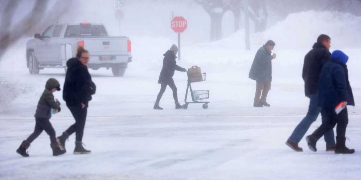
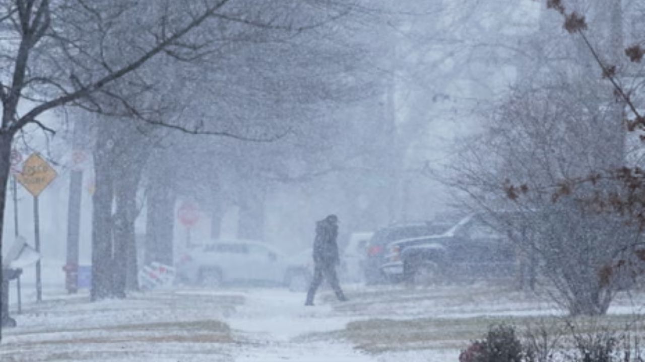
Tuesday’s warmer temperatures will be accompanied by widespread fog, mist, and drizzle, with the National Weather Service warning of reduced visibility in some areas. Overnight conditions may create challenging driving, particularly in northern and higher-elevation regions.
Highs on Tuesday are expected to reach the 40s near and south of I-78, and climb into the 50s in southern New Jersey, well above seasonal averages for early January.
Fog and Drizzle on Tuesday Night
As skies remain cloudy Tuesday evening, fog development is likely statewide. Areas of mist and light drizzle may further reduce visibility on roadways.
“The fog could make driving challenging in some parts of the state with reduced visibility,” officials said, emphasizing caution for commuters and travelers.
Higher elevations in Sussex County may see freezing rain, producing slick roads, sidewalks, and overpasses. Drivers in these areas should use low-beam headlights and maintain extra distance between vehicles.
Wednesday Forecast: Clearing Skies, Gusty Winds
By Wednesday morning, the system is expected to move out, allowing high pressure to build from the west. Any lingering drizzle or fog should taper off, leading to clearing skies.
Despite improving precipitation, winds will increase during the day, with gusts between 20–30 mph, before calming in the evening. High temperatures will range from the 40s to 50s, providing another mild day across much of the state.
Thursday: Mild but Cloudy
Thursday is expected to be dry, with temperatures remaining mild in the 40s and 50s. Cloud cover will increase late in the day, signaling a potential change in conditions ahead of the weekend.
Friday–Saturday: Unsettled Weather Returns
A storm system is forecast to track northwestward from Friday into Saturday, bringing rain and unseasonably warm temperatures ranging from the mid-50s to mid-60s during the day Friday. Rain is expected to increase Friday night and continue through Saturday.
Forecasters note some uncertainty regarding the storm’s strength, but agree that widespread unsettled weather will affect New Jersey through the first half of the weekend.
A strong cold front is expected Saturday night, ending precipitation and bringing a return to blustery, colder conditions by Sunday.
Sunday and Early Next Week: Cooler and Drier
High pressure is expected to build early next week, producing drier weather for Monday. Temperatures will trend toward more seasonable levels, ending the week’s period of unseasonably mild conditions.
Safety and Awareness Tips
Drivers are advised to remain cautious during foggy or icy conditions, especially overnight in northern and higher-elevation areas. Reducing speed, using low-beam headlights, and leaving extra distance between vehicles can help prevent accidents.
Residents should monitor updated forecasts through the National Weather Service for potential changes in storm timing or strength over the weekend.
Conclusion
New Jersey will see a brief period of fog, drizzle, and warm temperatures, followed by improving conditions on Wednesday. However, a storm system will bring additional precipitation and gusty winds late Friday into Saturday, followed by colder, blustery weather on Sunday.
Share your experiences in the comments below.