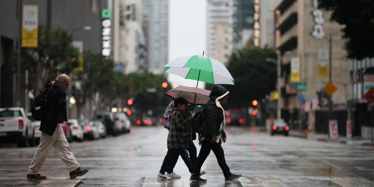
Los Angeles, CA – Southern California residents can expect a brief cooldown and light rain as a cooling trend moves across the region later this week, forecasters said Wednesday. The change comes after a period of milder winter temperatures, with light precipitation expected to affect parts of the Central Coast and Southland.
Cooler Temperatures and Rain Forecast
Meteorologist Kirk Hawkins of KTLA reported that a cooling trend is now underway across Southern California, with temperatures dipping slightly as the week progresses.
The National Weather Service (NWS) said light rain or drizzle will first move into the Central Coast Wednesday night before spreading south into the region between Thursday night and Friday. The highest rainfall totals are expected along the south-facing slopes of Santa Barbara and Ventura counties.
“Amounts will be mostly light, with generally 0.25 inch or less of rainfall expected, but isolated thunderstorms with heavier rainfall cannot be ruled out,” the NWS said.
Snow Likely Only at Highest Elevations
Snowfall is expected to remain limited to the highest elevations, as the coldest air remains west of the region. The NWS added that there is a 10% chance of more impactful snow reaching down to 5,000 feet, particularly in areas prone to heavier precipitation.
Residents in mountainous areas are advised to monitor local conditions and remain cautious while traveling, as even light snow or ice can create hazardous driving situations.
Short-Lived Cooldown Before Warming Trend
The cooling trend is expected to be short-lived, with high pressure returning over the weekend, bringing temperatures back up across much of the region. Hawkins noted that Southern Californians can expect milder conditions and a warming trend through next week.
Conclusion
Southern California will see a brief period of cooler temperatures and light rainfall from Thursday into Friday, with snow confined to the highest elevations. Residents should prepare for wet roads and isolated thunderstorms, though warmer and drier conditions are expected to return later this weekend.
Share your experiences in the comments below.