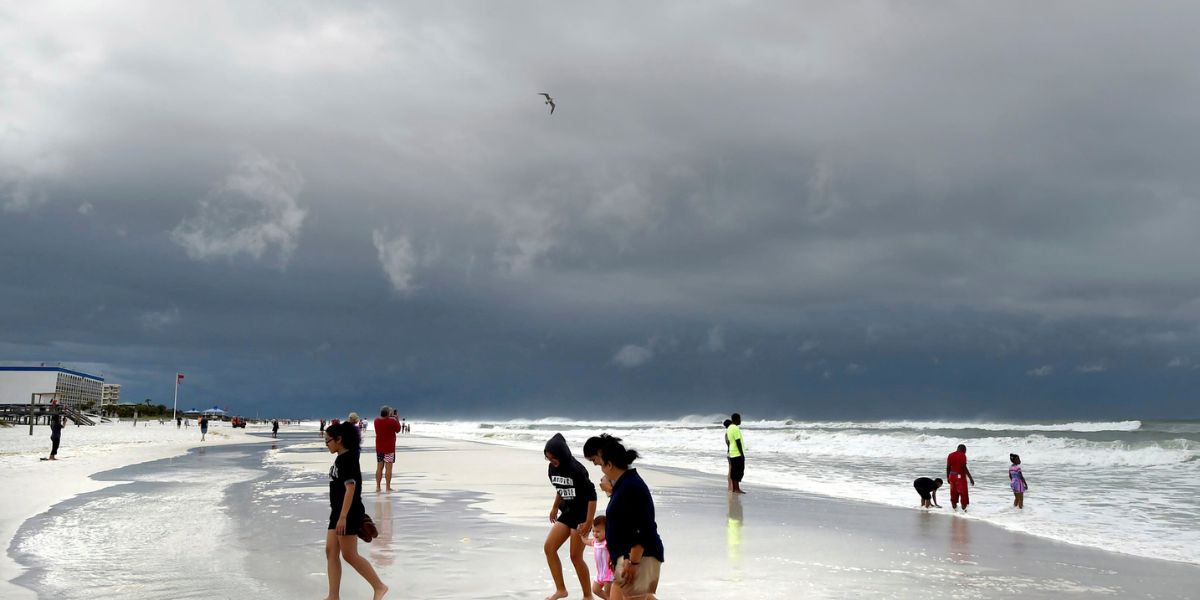
Pensacola, FL – Residents of Northwest Florida are preparing for a stretch of active weather Friday into Saturday as a cold front approaches, bringing the potential for strong to severe thunderstorms and heavy rainfall in some areas. Officials are urging residents to stay alert and monitor local weather updates as conditions evolve.
Marginal Severe Weather Risk
The Storm Prediction Center (SPC) has placed parts of Northwest Florida under a Level 1 out of 5 marginal risk for severe weather on Saturday. While this indicates that widespread severe storms are not expected, isolated strong storms remain possible.
Two main rounds of storms are forecasted:
- Round 1: Late Friday afternoon through early Saturday morning, tied to a band of thunderstorms forming over southeastern Mississippi. Some of these storms may drift into the Florida Panhandle.
- Round 2: Saturday morning into midday, as the main cold front moves through. This line is expected to be more widespread but generally less intense.
The placement of the first band of storms will largely determine how much severe weather and rainfall the region experiences. If the band remains northwest, impacts will be minimal. However, if it shifts eastward, damaging winds, brief tornadoes, and heavier rainfall become more likely.
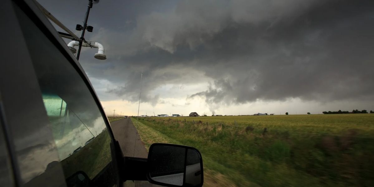
Tornado and Wind Concerns
While the overall risk for severe weather is limited, elevated wind shear could support small, brief tornadoes along the boundary. Forecasters say the most likely areas for tornadoes will be east of I-65, particularly during the second round of storms Saturday morning.
“Residents should be aware that even isolated storms can produce damaging winds or a brief tornado,” a National Weather Service spokesperson said.
Heavy rainfall is also a concern, with 2 to 4 inches possible if storms repeatedly track over the same areas. At this time, confidence is too low to issue flood watches, but officials continue to monitor conditions closely.
Weekend Outlook
Once the system moves out, Northwest Florida will see much cooler and drier air over the weekend. High temperatures are expected to drop into the 50s, with overnight lows in the 20s and 30s. Forecasters also note the possibility of another brief round of cold rain midweek before conditions dry out again.
Residents are advised to:
- Stay updated with local weather alerts
- Prepare for possible localized flooding in low-lying areas
- Avoid travel during periods of heavy rainfall or severe storms
- Have a safe place ready in case of tornado warnings
Conclusion
While widespread severe weather is unlikely, isolated storms, strong winds, and brief tornadoes remain possible across Northwest Florida Friday into Saturday. Officials encourage residents to remain vigilant and take precautions during the active weather period.
Share your experiences in the comments below.