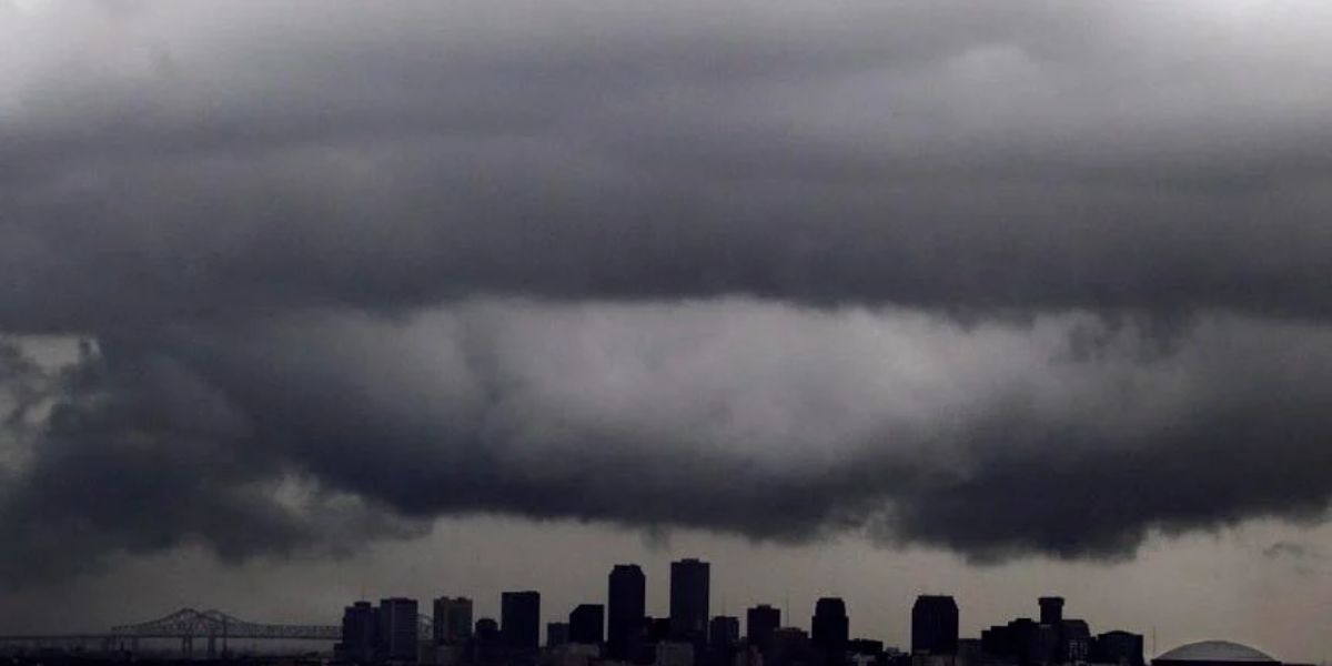
New Orleans, LA – Residents of New Orleans are being urged to stay alert as a busy weather day is expected Friday, with potential for locally heavy rainfall, flash flooding, and isolated severe storms. A Flood Watch remains in effect for the area, and forecasters are cautioning that conditions could still produce damaging wind gusts and brief tornadoes.
Flooding Risk in Low-Lying Areas
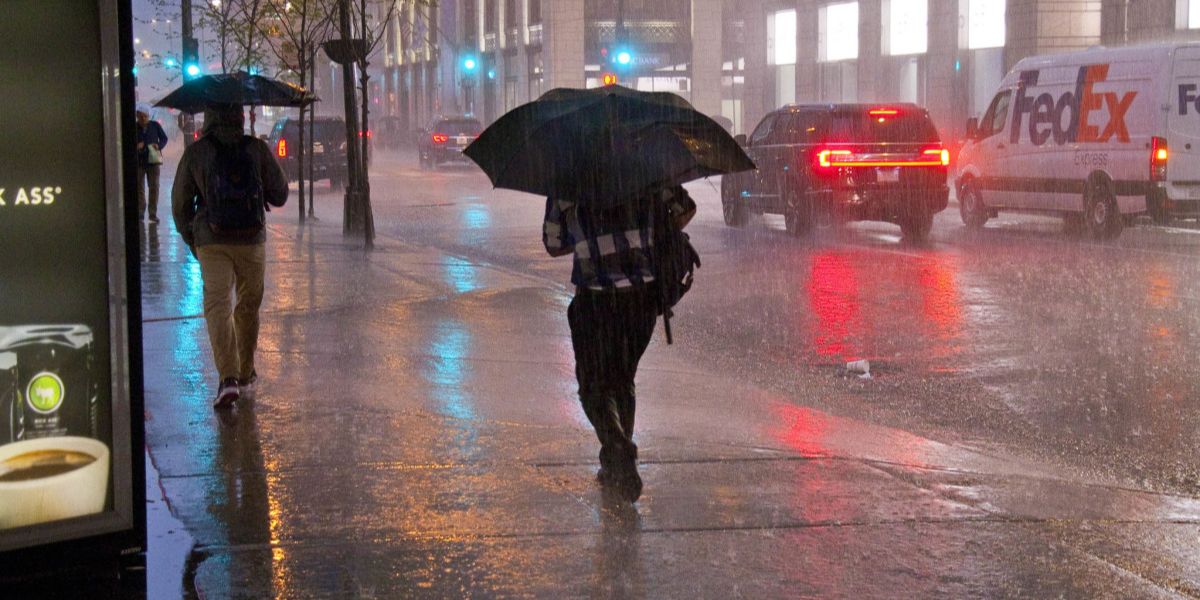
Heavy showers are expected to train over the same areas, raising the risk of flooding in low-lying locations, poorly drained spots, and roadways. The Flood Watch issued by the National Weather Service covers the entire day Friday, with the highest risk Friday afternoon and evening.
“Even though storms may not be widespread or highly organized, localized flooding remains a concern,” a meteorologist with the National Weather Service said. “Residents should monitor conditions closely and avoid traveling through flooded streets.”
Officials emphasize that repeated rainfall over the same areas can quickly overwhelm drainage systems, making flash flooding a real possibility.
Severe Weather Threats
While the overall severe weather setup has trended less favorable than earlier forecasts suggested, there remains a lower-confidence threat of isolated tornadoes and damaging wind gusts. Storms may struggle to become well-organized, but strong wind shear could allow a storm to briefly take advantage of available instability.
“The tornado threat is lower-coverage but cannot be ruled out,” forecasters said. “Residents should stay weather-aware throughout the day and into Friday night.”
Weekend Outlook and Cold Front
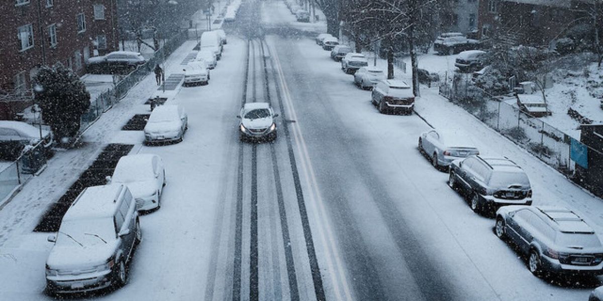
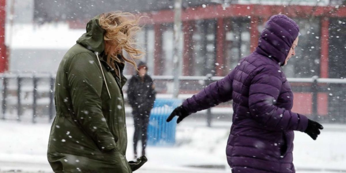
By Saturday morning, showers and storms may linger, especially across eastern areas, but the main energy will gradually pull away. A cold front passing through Saturday evening is expected to sharply lower temperatures across the region.
By Sunday, highs will be 10 to 15 degrees cooler, giving residents a taste of winter ahead of early next week. Areas north of I-12 should monitor conditions for freezing temperatures Monday and Tuesday mornings before a gradual warm-up midweek.
Public Safety and Preparedness
Officials advise residents to:
- Stay weather-aware throughout Friday, especially during periods of heavy rain
- Avoid flooded roads and low-lying areas
- Prepare for rapid temperature drops over the weekend
- Keep emergency supplies on hand for potential localized flooding or power outages
Conclusion
Although the threat of severe storms Friday is limited, the combination of heavy rain, flooding, and isolated tornadoes makes it a potentially impactful weather day for New Orleans. The arrival of a cold front Saturday evening will bring cooler temperatures and a return to winter-like conditions. Residents are urged to monitor local forecasts and take precautions.
Share your experiences in the comments below.