Atlanta, GA – North and Central Georgia are facing a dramatic weather shift this weekend as record-breaking warmth gives way to repeated rounds of heavy rain and the possibility of isolated severe storms. Forecasters are urging residents to stay alert as a cold front stalls over the region, increasing the risk of flash flooding and strong thunderstorms starting Friday.
Heavy Rain and Flooding Concerns Friday
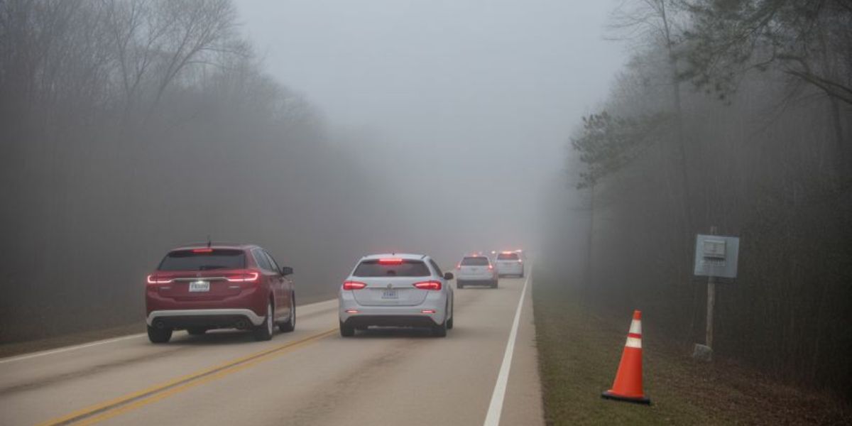
Rainfall is expected to begin Friday evening and continue through Saturday morning, with repeated rounds of showers potentially causing localized flooding. The Weather Prediction Center has issued a Slight Risk (Level 2 of 5) for excessive rainfall across parts of north and west Georgia, indicating a heightened risk of flash flooding.
“We’re going to hold on to the warmth here right on into Saturday,” said Fox 5 Storm Team Chief Meteorologist David Chandley. “Then we see the changes in here later on Friday. On into Saturday we’ve got some rain and thunderstorms we’re going to have to contend with.”
The most intense rainfall is expected Friday night into Saturday morning, particularly near creeks, rivers, and low-lying areas. Officials warn that drivers should not attempt to cross water-covered roads, emphasizing the life-saving mantra: “Turn around, don’t drown.”
Residents in flood-prone areas are advised to monitor local weather alerts and prepare for potential evacuations or temporary road closures if water levels rise.
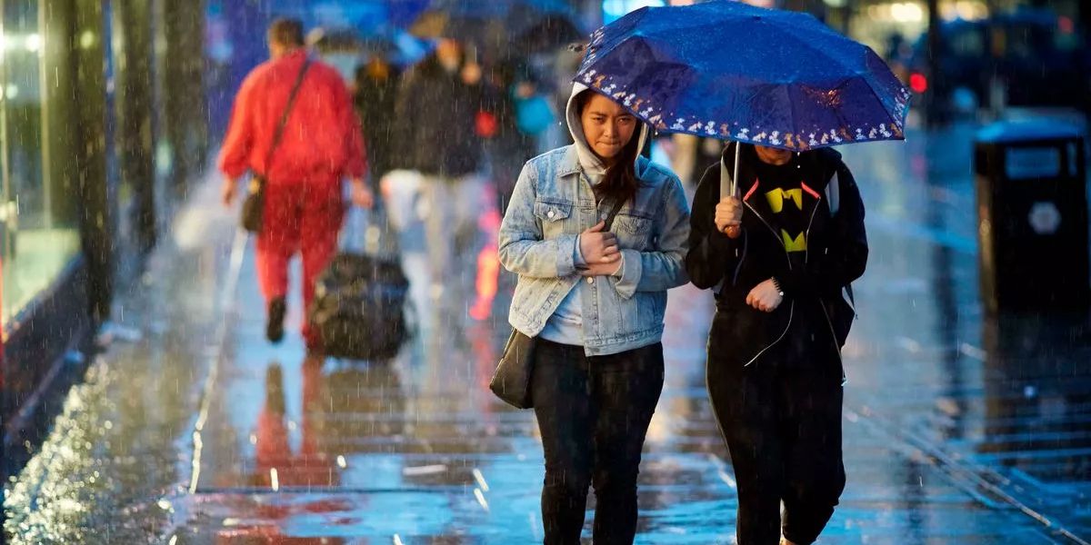
Isolated Severe Weather Saturday
As the cold front moves through Saturday, the environment will become more dynamic, creating the potential for isolated severe storms. While widespread severe weather is not expected, the Storm Prediction Center has placed far northwest Georgia under a Marginal Risk (Level 1 of 5) for severe storms.
“The greatest risk here [is] damaging winds, possibly some hail out to our west,” Chandley said. “While the tornado risk remains higher in Alabama and Mississippi, a brief tornado cannot be ruled out in Georgia as the front passes. This time of year, things are dynamic. We’ll certainly be watching that.”
Forecasters caution that even isolated storms can produce strong gusts and localized hail, so residents should remain vigilant and prepared to seek shelter if conditions deteriorate.
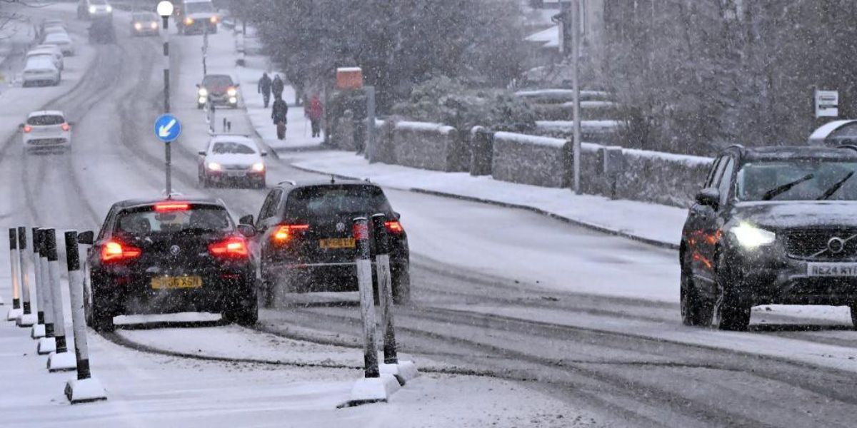
Winter Returns Sunday
The “spring-like” warmth will end Saturday night as a colder air mass settles in across the region. By Sunday, temperatures are expected to drop significantly, with highs in the 40s and 50s and overnight lows dipping into the mid-20s, bringing a true taste of winter.
Residents should prepare for freezing overnight temperatures early next week and consider precautions for vulnerable plants, pets, and water pipes.
Public Safety Guidance
Authorities are urging the public to:
- Stay updated with local weather alerts and advisories
- Avoid driving through flooded roads
- Take shelter immediately if damaging winds or hail occur
- Prepare homes and vehicles for colder temperatures and freezing conditions
Conclusion
North and Central Georgia will experience a rapid shift from record warmth to heavy rain, flash flooding, and isolated severe storms Friday into Saturday. With winter-like conditions returning Sunday, residents are encouraged to remain alert and take precautions for both flooding and colder temperatures.
Share your experiences in the comments below.