Cedar Rapids, Iowa – Unseasonably mild and breezy weather continued across eastern Iowa Tuesday afternoon, but forecasters say the brief stretch of warmth is coming to an end. Stronger winds, falling temperatures, and the potential for accumulating snow later this week are expected to bring winter conditions back into focus.
Current Weather Conditions
Tuesday’s weather across the Cedar Rapids area remained mild for this time of year, accompanied by persistent breezes. While temperatures stayed above typical mid-winter levels, the pleasant conditions were already showing signs of change as a stronger weather system approached from the west.
Meteorologists said the mild air mass will be quickly pushed out as colder air advances into the region overnight, setting the stage for a noticeable shift in conditions by Wednesday morning.
Strong Winds and Temperature Drop Wednesday
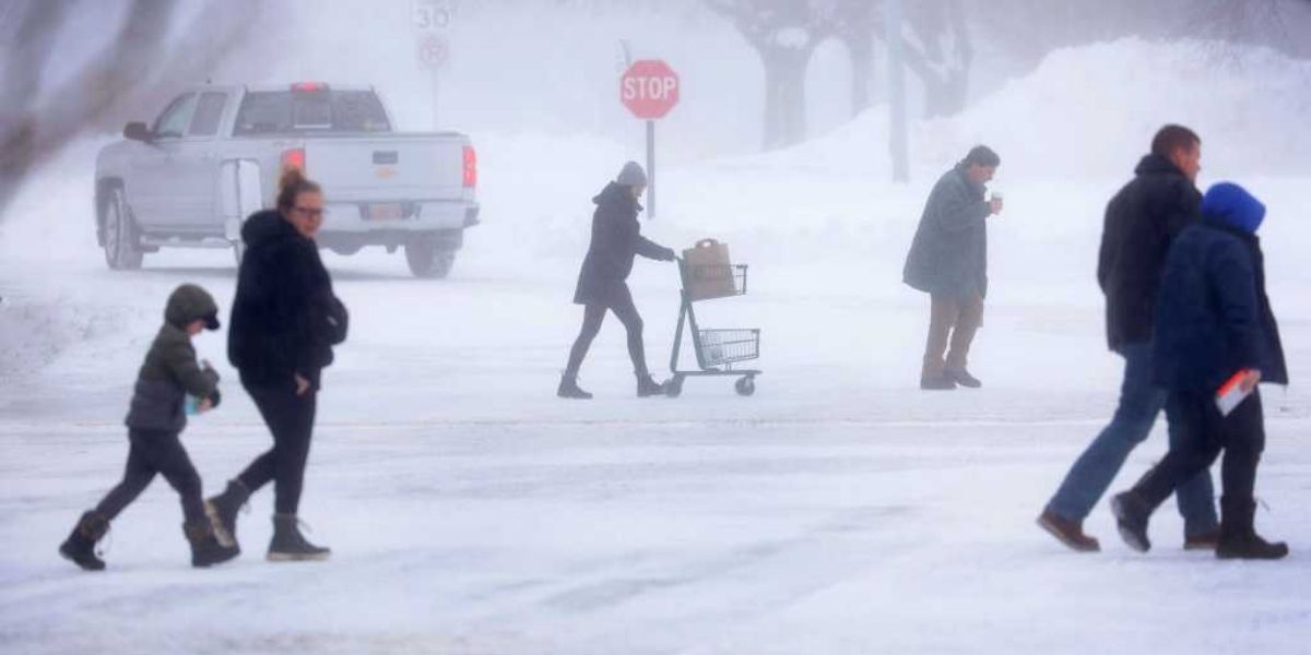
Changes will become more apparent early Wednesday morning, when west to northwest winds strengthen significantly. Gusts are expected to exceed 30 miles per hour, creating blustery conditions throughout the day.
Those winds will usher in colder air, causing temperatures to fall and making it feel much chillier than recent days. Even if thermometer readings remain near seasonal levels, the wind will increase heat loss from exposed skin, resulting in a pronounced wind chill.
Drivers of high-profile vehicles, including semis and box trucks, may notice difficult handling on open roadways as gusty winds develop.
Midweek Weather Shift
By Thursday evening into Friday, attention turns to a fast-moving clipper system tracking through the Midwest. These systems often move quickly but can still bring impactful weather, especially when cold air is in place.
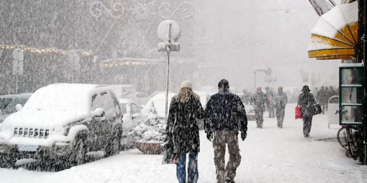
Forecasters say the clipper has the potential to produce accumulating snow, which could lead to slick and hazardous travel conditions at times. While snowfall totals are still being monitored, even light accumulation can create problems during peak travel periods.
Roadways, bridges, and overpasses are especially vulnerable to freezing quickly, increasing the risk of accidents during the Thursday night and Friday commute windows.
Snow and Travel Concerns
The timing of the snow may play a key role in its impact. If snow falls during overnight hours, untreated roads could become slippery by early Friday morning. Visibility reductions and changing road conditions may also challenge drivers during active snowfall.
Motorists are urged to reduce speeds, increase following distance, and allow extra travel time if snow develops. Even brief bursts of snow can rapidly change road conditions, especially when combined with colder pavement temperatures.
Weekend Forecast: Winter Returns
Looking ahead to the weekend, the weather pattern turns decisively colder. Forecasts indicate sharply colder temperatures settling across eastern Iowa, along with scattered snow showers.
These snow showers may be intermittent, but they serve as a reminder that winter conditions remain firmly in place despite the recent mild stretch. Any snow showers could briefly reduce visibility and create localized slick spots, particularly in rural areas and on secondary roads.
Nighttime temperatures are expected to fall well below recent levels, increasing the risk of refreezing on roads and sidewalks.
Cold Weather and Wind Safety
As colder air returns, residents are encouraged to take precautions against exposure. Strong winds combined with lower temperatures can lead to rapid heat loss, increasing the risk of frostbite and hypothermia for those spending extended time outdoors.
Officials recommend dressing in layers, covering exposed skin, and limiting time outside during windy periods. Pet owners should also ensure animals are protected from the cold and not left outdoors for long periods.
Homeowners may want to check heating systems, ensure pipes are protected from freezing, and monitor weather updates closely as conditions evolve.
What to Expect Moving Forward
While Tuesday’s mild weather may have felt like a break from winter, forecasters emphasize that it is temporary. The combination of strong winds, falling temperatures, and potential snowfall later this week signals a return to more typical winter weather for eastern Iowa.
Residents should stay alert for forecast updates, especially regarding snow timing and accumulation, and be prepared to adjust travel plans as needed.
Conclusion
The shift from mild, breezy conditions to colder, wintry weather will unfold quickly across Cedar Rapids and surrounding communities. With strong winds Wednesday, snow chances late Thursday into Friday, and colder temperatures this weekend, winter is poised to reassert itself across the region.
Share your experiences in the comments below.