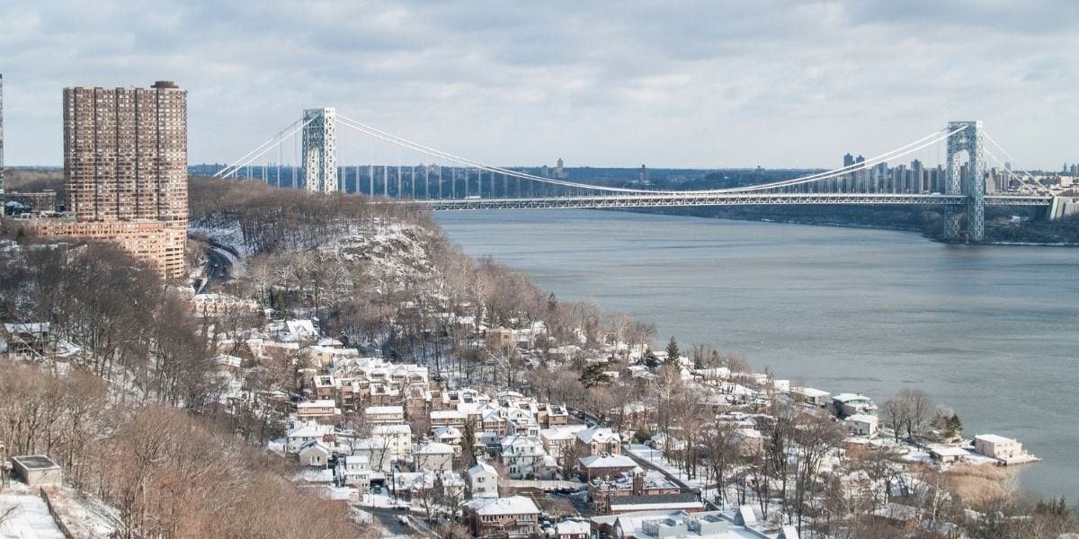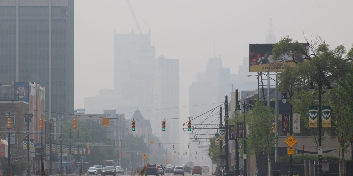
Detroit, MI – Drivers across Metro Detroit faced hazardous travel conditions Tuesday evening as dense fog combined with wet roads following a day of rain. A Dense Fog Advisory remains in effect until 9 p.m. Tuesday for Genesee, Lapeer, St. Clair, Livingston, Oakland, Macomb, Washtenaw, Wayne, and Monroe counties, with visibility expected to drop to one-quarter mile or less at times.
Forecasters warn that travel speeds will be slower, and motorists should exercise caution, especially along major corridors and bridges.
Tuesday’s rain has transitioned to light rain and drizzle, leaving roadways slick and increasing the risk for accidents when combined with low clouds and dense fog. Saturated ground, melting snow, and light winds have slowed the lifting of fog across Southeast Michigan.
Drivers along the I-69 corridor and surrounding areas are particularly affected, with visibility significantly reduced during the evening commute.
Dense Fog Advisory Details
- WHEN: Until 9 p.m. Tuesday
- WHERE: Genesee, Lapeer, St. Clair, Livingston, Oakland, Macomb, Washtenaw, Wayne, and Monroe counties
- HAZARD: Visibility dropping to ¼ mile or less, especially in low-lying and urban corridors
“Motorists should expect slower travel speeds, particularly on major corridors such as I-75, I-94, I-96, I-696, I-275, and M-59,” officials advised.
Drivers are urged to slow down, use low-beam headlights, and leave extra distance between vehicles to avoid collisions.
Low Icing Risk
While temperatures remain mostly above freezing, there is a low chance of patchy icing late Tuesday night, particularly on bridges, overpasses, and untreated surfaces. Any icing would be isolated and spotty, with no widespread accumulation expected.
Rain coverage is forecast to gradually diminish Tuesday evening, leaving fog as the primary overnight hazard. Conditions should improve overnight as drier air moves into the region.
Wednesday and Beyond: Milder Weather
Wednesday will feature patchy morning fog, followed by mostly cloudy skies and highs in the upper 30s to 40 degrees, above the early January average of lower 30s.
A continued warming trend is expected through the week:
- Thursday: Highs in the 40s
- Friday: Highs near 50 degrees, nearly 20 degrees above normal
Rain is expected late Thursday into Friday, but temperatures will remain warm enough to keep conditions as mainly rain with no ice concerns.
Looking toward the weekend, temperatures will cool toward seasonable levels, with additional rain chances and a possible rain-to-snow transition late Sunday.
Safety and Awareness Tips
- Slow down and leave extra following distance in fog and on wet roads
- Use low-beam headlights to improve visibility
- Exercise caution on bridges, overpasses, and shaded surfaces, where patchy ice may form
- Stay updated on local forecasts and travel alerts as conditions evolve
Conclusion
Dense fog and wet roads created major travel challenges Tuesday evening across Metro Detroit, with visibility the primary concern. While the region will turn unseasonably mild later this week, drivers are advised to remain alert for changing conditions and intermittent rain as the workweek progresses.
Share your experiences in the comments below.