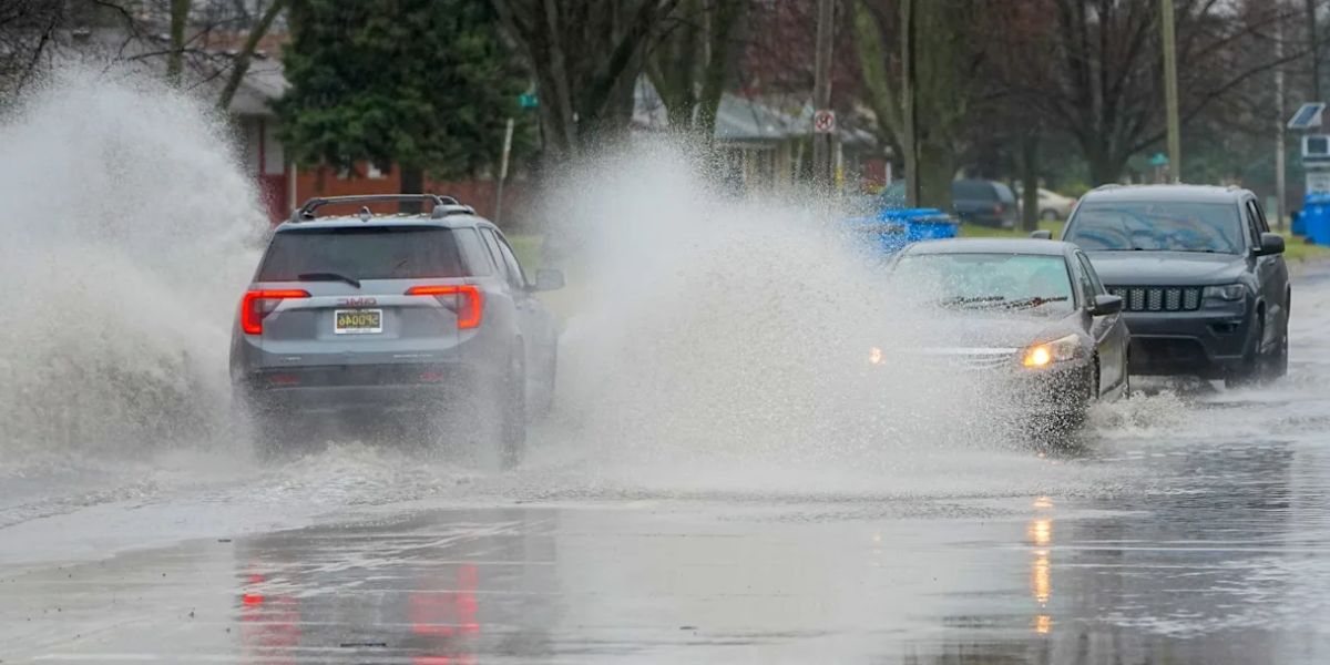
Detroit, MI – Residents across Southeast Michigan are being advised to remain cautious early Tuesday morning as a brief period of rain mixed with light freezing rain could lead to slick roads and sidewalks, particularly during the morning commute.
Forecasters expect conditions to improve later in the day as temperatures rise above 32 degrees, allowing precipitation to transition fully to rain. However, the early hours may pose travel challenges in certain areas.
Brief Window of Freezing Rain Expected Overnight
A warm front moving into the region overnight may produce a short-lived period of freezing rain late Monday night into early Tuesday morning. During this time, surface temperatures in some locations may hover near or just below freezing, allowing rain to freeze on contact.
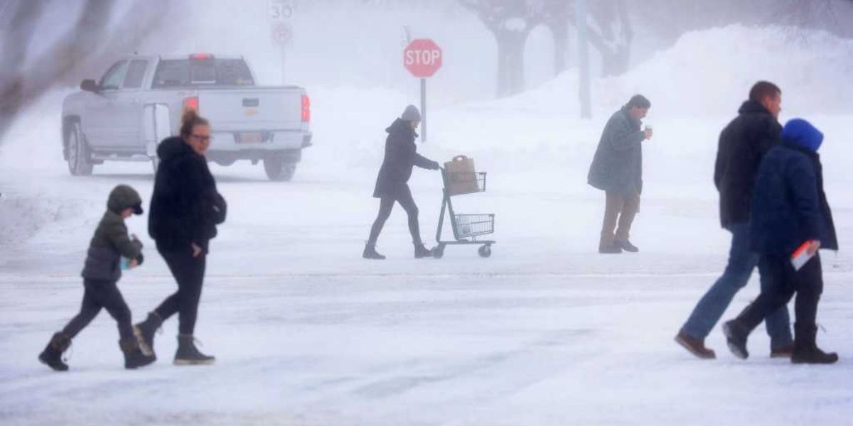
Although forecasters expect ice accumulation to remain minimal, even a thin glaze can be enough to create hazardous travel conditions. Untreated roads, sidewalks, bridges, and overpasses are especially vulnerable during the early morning hours.
Officials warn that drivers may encounter icy patches that are difficult to see, particularly before sunrise.
Higher-Elevation Counties Face Greater Icing Risk
The highest confidence for minor icing is in higher-elevation areas across parts of Southeast Michigan. These areas are more likely to remain below freezing longer as precipitation moves through.
Counties with the greatest risk include:
- Lenawee County
- Washtenaw County
- Livingston County
- Oakland County
- Lapeer County
In lower-elevation areas, surface temperatures are expected to warm more quickly, reducing the likelihood of ice buildup. By late morning or early afternoon, most of the region should see temperatures rise above freezing, resulting in all rain.
Fog and Reduced Visibility Add to Concerns
In addition to freezing rain, patchy fog is expected to develop across portions of Southeast Michigan on Tuesday. The fog could reduce visibility at times, further complicating travel during the morning hours.
Forecasters predict that visibility may fluctuate as rain moves through, particularly in low-lying areas and near bodies of water.
High temperatures on Tuesday are expected to reach the upper 30s to lower 40s, which should gradually improve road conditions as the day progresses.
Milder Weather on the Way, but Cold Returns This Weekend

Looking ahead, Southeast Michigan is expected to experience a milder stretch of weather later this week.
- Thursday: Highs in the mid to upper 40s with periods of rain
- Friday: Temperatures nearing 50 degrees, along with additional rain chances
Despite the warming trend, colder air is forecast to return over the weekend.
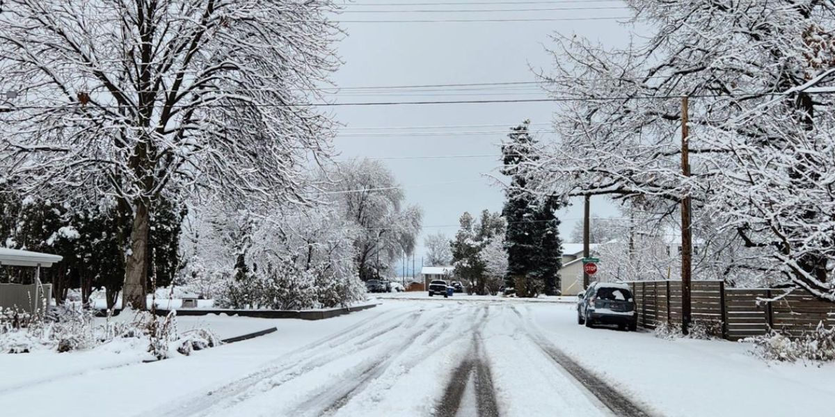
- Saturday: Chance of rain mixing with snow as highs drop back into the 30s
- Sunday: A chance of snow with continued cooler temperatures
Forecasters note that temperature swings during the winter season can lead to rapidly changing road conditions, especially during overnight and early morning hours.
Stay Alert During Changing Conditions
Weather officials encourage residents to stay aware of evolving conditions, particularly during the early hours of Tuesday when freezing rain and fog may overlap.
Drivers are urged to check updated forecasts and local road conditions before heading out, especially in areas prone to icing. Even brief periods of freezing rain can have a significant impact on travel safety.
Did you notice icy roads or fog in your area this morning? What are the conditions where you live? Share your experience and observations in the comments below.