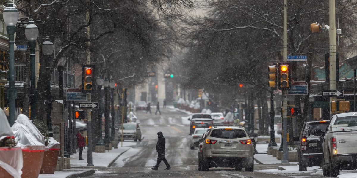
Minneapolis, MN – Drivers across Minnesota, including the Twin Cities metro, are being urged to prepare for potentially slick road conditions Monday night into Tuesday morning, as a narrow band of rain, freezing rain, and fog moves across the state.
Meteorologists warn that temperatures hovering near the freezing mark could create hazardous travel conditions, especially during the overnight hours and the early-morning commute.
Rain and Freezing Rain Possible Overnight
According to FOX 9 Meteorologist Ian Leonard, temperatures are expected to remain close to 32 degrees Monday night as a narrow band of precipitation moves out of southwestern Minnesota and tracks east to northeast across parts of the state.
This system is forecast to impact several regions, including the Twin Cities metropolitan area. The exact type of precipitation will depend heavily on small temperature differences, with even a one-degree change potentially determining whether an area sees plain rain or freezing rain.
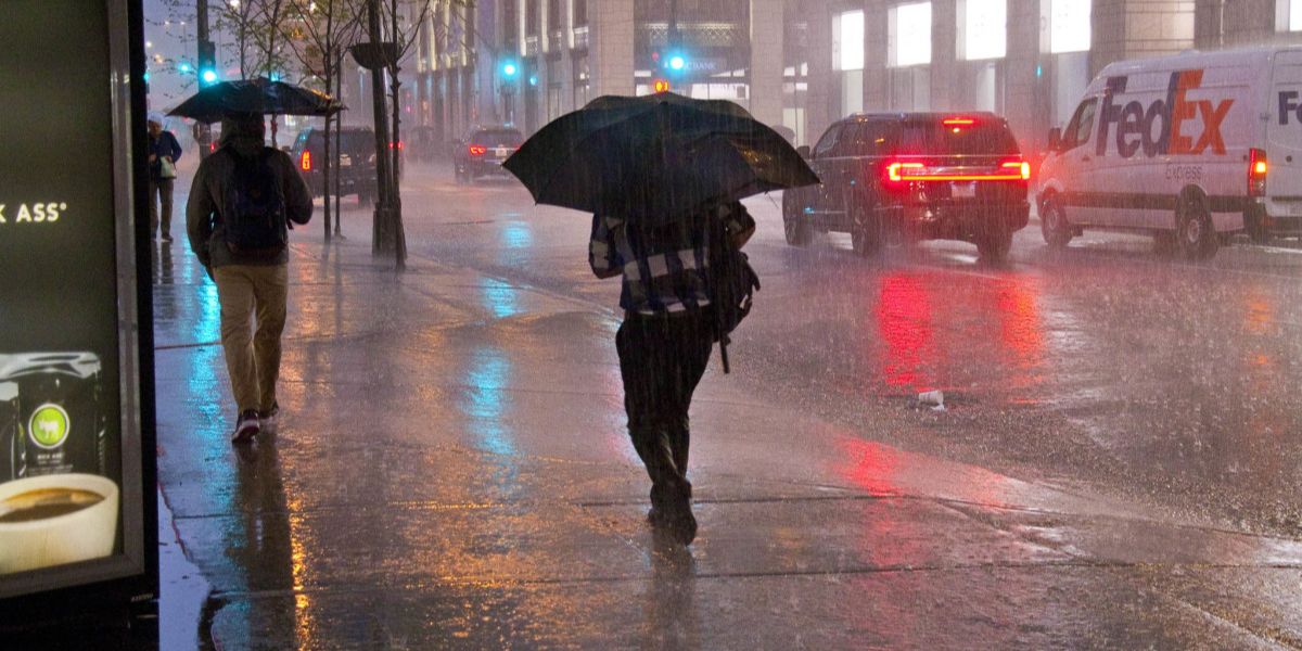
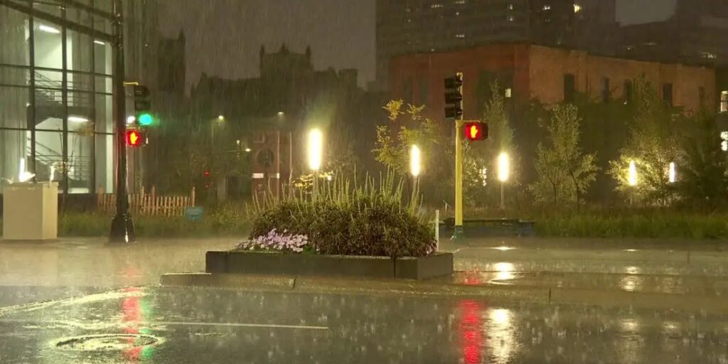
Rain, light freezing rain, and fog are all possible after 8 p.m. Monday, making conditions difficult to predict on a county-by-county basis.
Highest Risk Window for Icy Conditions
Forecasters say the greatest threat for freezing rain will occur between 10 p.m. Monday and 3 a.m. Tuesday, when overnight lows dip into the 20s in some areas.
If freezing rain develops, even minimal ice accumulation could make roads, bridges, overpasses, and sidewalks slippery, particularly where surfaces remain untreated overnight. Officials note that icy patches may be difficult to detect, increasing the risk for drivers and pedestrians alike.
Fog and Gray Skies Expected Tuesday
By Tuesday morning, widespread fog is expected to develop across parts of Minnesota, further reducing visibility during the morning commute. Combined with potential icy conditions, fog could make travel more challenging, especially in urban corridors and low-lying areas.
Tuesday is expected to remain mostly gray, with temperatures climbing into the low 30s. While any freezing rain should transition to rain as temperatures rise, lingering moisture and cold surfaces could keep some roads slick through the early hours of the day.
Meteorologists emphasize that conditions may vary significantly across short distances, meaning some neighborhoods could experience icy roads while others see only wet pavement.
Extended Forecast: More Gray Days Ahead
Looking beyond Tuesday, Minnesota is expected to remain under a persistent gray pattern for much of the week. High temperatures are forecast to stay in the 30s, with limited sunshine expected.
While no major winter storms are currently forecast during the midweek period, the combination of cloud cover, lingering moisture, and near-freezing temperatures could continue to cause occasional travel concerns.
Weekend Outlook Brings Seasonal Conditions
Heading into the weekend, temperatures are expected to remain seasonable for January.
- Saturday: Highs in the upper 20s with a chance of snow showers
- Sunday: Skies may begin to clear, allowing for the return of sunshine, with highs near 30 degrees
While weekend conditions appear quieter, forecasters say residents should remain alert to changing weather patterns typical of midwinter in Minnesota.
Stay Weather-Aware
Officials encourage drivers to stay informed by checking updated forecasts and road conditions, especially during the overnight hours and early Tuesday morning. Small temperature shifts can quickly change precipitation types, leading to rapidly evolving road conditions.
With freezing rain, fog, and near-freezing temperatures all possible within a short timeframe, staying cautious and prepared could make a significant difference during the commute.
Are roads slick where you live? Did you notice freezing rain or fog overnight? Share what you’re seeing in your area and how conditions are affecting travel in the comments below.