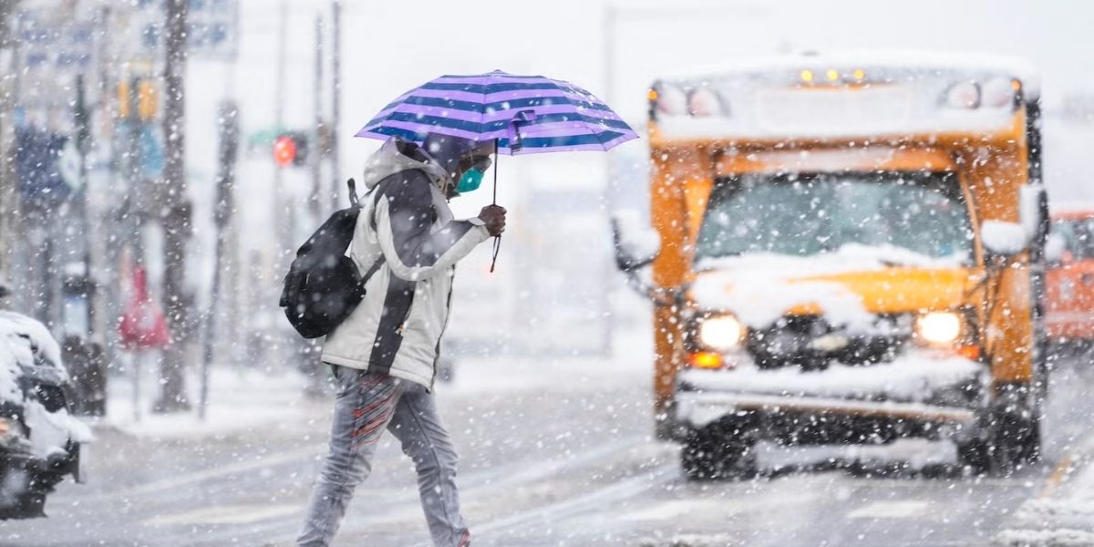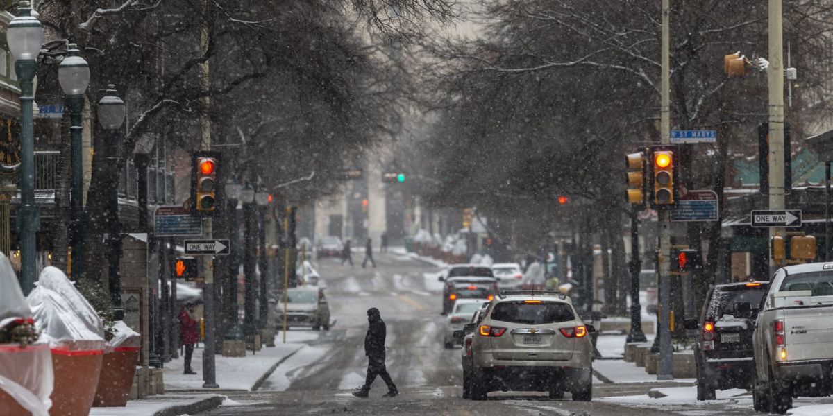
Denver, CO – After a stretch of unseasonably warm weather, Colorado is set to see snow and colder temperatures beginning Wednesday night, with impacts continuing through Friday. The National Weather Service (NWS) says the storm will bring widespread winter conditions, affecting mountains, foothills, and urban areas, while providing much-needed moisture to parts of the state experiencing drought.
Snowfall Timeline and Areas Affected
Snow is expected to begin in the mountains Wednesday night, including areas such as the Park, Mosquito, and Gore ranges, and along the Front Range above 9,000 feet. By 5 a.m. Thursday, snow could start in the southern Front Range foothills, creating slick road conditions for the Thursday morning commute.
The heaviest snow totals are forecast for the mountains, southern foothills, and Palmer Divide, though most of the state, including the Denver metro area, will see measurable snowfall. Snow could continue through Friday, gradually tapering as the storm moves east.
Expected Snow Totals
As of Wednesday afternoon, the NWS Boulder office projected the following:
- Northern and central mountains: 4–10 inches in Rabbit Ears Pass, Rocky Mountain National Park, Summit County, Mosquito Range, and Indian Peaks.
- Palmer Divide: 5–10 inches.
- Denver metro: 3–6 inches.
- Mountain communities west of Denver: 6–10 inches in Georgetown, Evergreen, Bailey, Idaho Springs, Jefferson County, western Douglas County (above 6,000 feet), and Gilpin, Clear Creek, and northeastern Park counties (below 9,000 feet).
- Western Slope and southwestern mountains: 4–8 inches in Aspen, Snowmass, Vail, Minturn, Telluride, Ouray, Red Mountain Pass, Lake City, and Silverton.
- Pikes Peak region: 6–12 inches in higher elevations of Teller County, including Woodland Park and Pikes Peak. Colorado Springs could see up to 3 inches.
Drought Relief and Snowpack Status
While the storm may not fully alleviate drought conditions, the moisture is much-needed. Currently, more than 70% of Colorado is classified as “abnormally dry”, compared with about 25% a year ago. Extreme drought continues to expand in central Colorado, with Eagle and Pitkin counties under “exceptional drought.”
Major river basins are reporting 46%–80% of their normal snowpack, highlighting the importance of this storm for statewide water resources.
Travel and Safety Considerations
Winter weather will make road conditions hazardous, especially in the high country. Traction laws are in effect, requiring vehicles to have mud or snow tires, chains, alternative traction devices, or four-wheel/all-wheel drive. Drivers are urged to plan accordingly and exercise caution.
Air travelers should check flight status before heading to airports, as snow and icy conditions may cause delays or cancellations. Commuters should also anticipate slick roads Thursday evening and Friday morning, particularly in mountain and foothill areas.
Conclusion
Colorado’s long-awaited winter storm brings an end to unseasonably warm conditions, delivering snow, colder temperatures, and relief to drought-stricken areas. Residents and travelers should prepare for hazardous roads, potential flight disruptions, and widespread snow accumulation, especially in mountainous regions.
Share your experiences in the comments below.