Philadelphia, PA – A sharp temperature drop overnight Wednesday will set the stage for a brief wintry mix across the Philadelphia region, potentially creating slick conditions on untreated roads and sidewalks during the Thursday morning commute. While snowfall totals are expected to remain light, forecasters say ice could pose the greater hazard.
Weather Pattern Leading Into the System
Conditions will remain dry and seasonable through Tuesday and most of Wednesday as clouds gradually increase ahead of the next system. Daytime temperatures are expected to climb into the 50s, giving the region a mild feel before winter reasserts itself overnight.
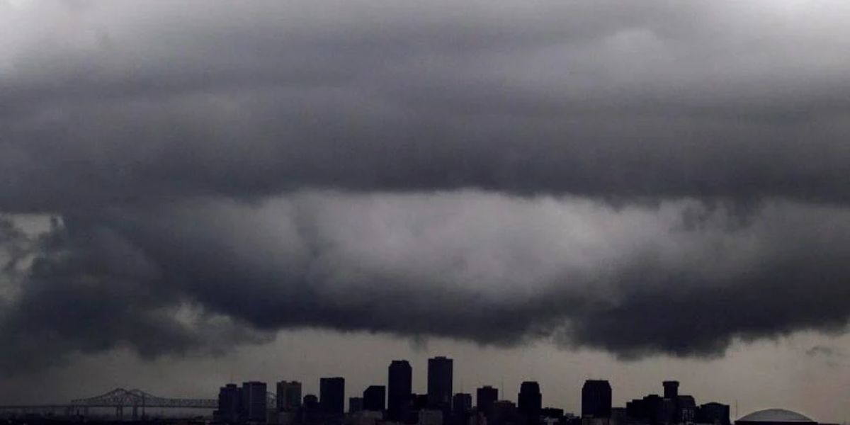
Meteorologists describe the approaching system as a nuisance storm, but one that arrives at a sensitive time. As temperatures plunge late Wednesday night, precipitation moving into the region will interact with colder air near the surface.
Overnight Transition to Wintry Mix
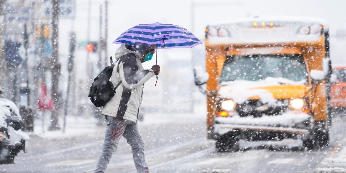
Forecasters say precipitation will begin as rain around midnight Wednesday night before transitioning to a mix of rain and snow as temperatures fall toward freezing. The exact timing of the changeover will play a key role in how conditions develop early Thursday.
The rain-snow line is expected to sit near Philadelphia and areas along the I-95 corridor, meaning some locations may briefly see snow while others remain mostly rain. Light flurries are possible during the height of the Thursday morning commute.
Snowfall Expectations Remain Limited
Despite the wintry setup, snowfall totals are expected to stay minimal. Latest projections indicate less than one inch of snow across Philadelphia and surrounding communities, limiting the risk of widespread accumulation on main roadways.
However, forecasters caution that even small amounts of snow can become problematic when combined with falling temperatures and lingering moisture.
Ice Is the Primary Concern
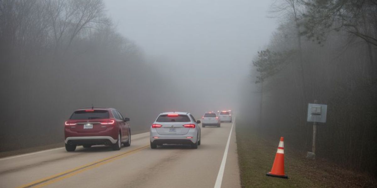
The main threat from this system is not snow, but a light glaze of ice. As temperatures drop quickly overnight, wet surfaces could freeze, particularly on untreated roads, bridges, sidewalks, and parking lots.
Early morning travelers may encounter patchy slick spots, especially in shaded areas or on elevated surfaces that cool more rapidly. Even minor icing can increase the risk of slips, falls, and vehicle crashes during the morning rush.
Impact on the Morning Commute
Drivers are urged to allow extra time Thursday morning and remain alert for changing road conditions. While major highways may remain mostly wet, secondary roads and neighborhood streets could become slick with little warning.
Pedestrians should also use caution, as thin ice can be difficult to see and easy to underestimate.
Conditions Improve After the Storm
The wintry mix is expected to move out relatively quickly Thursday, with precipitation tapering off as temperatures stabilize near the freezing mark. Skies are forecast to clear heading into Friday.
Looking Ahead to the Weekend
Friday will feature plenty of sunshine, though temperatures are expected to hover around freezing, keeping the air feeling crisp but seasonable for midwinter. These conditions will set the stage for a relatively quiet winter weekend in the Philadelphia area.
Saturday is expected to remain dry, while another chance of flurries returns on Sunday, though no significant accumulation is currently anticipated.
Seasonal Reminder
Even light winter systems can create outsized impacts when they arrive overnight and coincide with peak travel times. Officials recommend checking local forecasts before heading out and staying prepared for rapidly changing conditions.
Share your experiences in the comments below.