Boston, Mass. – Massachusetts is under a NEXT Weather Alert as a wintry mix of ice and freezing rain is expected to impact roads, driveways, and sidewalks Tuesday night into Wednesday morning. Forecasters warn that travel could be hazardous during the overnight hours and into the Wednesday morning commute, with conditions varying widely across the state.
Officials emphasize that the storm’s timing and temperatures will play a critical role in determining where ice accumulates and how severe the impacts will be.
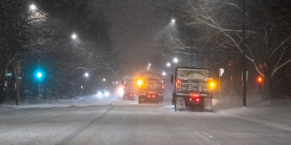
Precipitation is expected to begin between 8 p.m. Tuesday and midnight, continuing through Wednesday morning. While the storm will be light and spotty in most areas, freezing rain and icy surfaces could pose challenges for drivers and pedestrians, particularly in northern and western Massachusetts.
Temperatures will dictate how precipitation falls and accumulates, resulting in varying impacts depending on location.
Storm Timeline and Regional Impacts
South Shore, South Coast, Cape Cod, and Islands
These areas are expected to see mainly rain, with very little concern for icing. Travel impacts should be minimal, though wet roads may still require caution.
North Shore, Boston, and Inside I-495
The storm is forecast to start as freezing rain, with untreated surfaces becoming icy Tuesday night. Temperatures are expected to rise overnight, reaching near or slightly above freezing by dawn Wednesday, which will transition precipitation to plain rain.
“Most untreated surfaces in the Boston area will get icy for a time Tuesday night,” meteorologists noted, emphasizing caution for overnight travel.
495 Belt: Lawrence, Lowell, Marlboro, Worcester, and Areas North and West
This region is expected to remain near or slightly below freezing for the duration of the storm. Freezing rain and ice accretion could reach 0.1–0.2 inches on roads, bridges, sidewalks, and other surfaces. Temperatures are forecast to climb above freezing by midday or early afternoon, allowing for gradual melting.
Central and Northern New England
Further north, the storm will bring mainly snow, benefiting ski areas and minimizing travel disruptions in those regions.
Timing of Worst Conditions
The peak impact window is expected overnight between 10 p.m. Tuesday and 6 a.m. Wednesday. Drivers and pedestrians should plan ahead, as untreated surfaces will be most slippery during this period.
The Wednesday morning commute will likely remain icy in areas north and west of Boston, while conditions are expected to improve farther east and south. By Wednesday afternoon, precipitation should end, and temperatures will rise into the mid-30s, with a gradual decline overnight but no flash freeze expected.
Travel Safety Tips
Residents and travelers should follow these precautions during the ice storm:
- Drive slowly and allow extra stopping distance on roads, bridges, and overpasses
- Use low-beam headlights in icy or wet conditions
- Avoid unnecessary travel during peak icing hours overnight and early Wednesday
- Walk carefully on sidewalks and driveways, as ice may be hidden under light snow or wet surfaces
- Monitor local forecasts and road conditions for updates
Forecasters recommend checking NEXT Weather Alerts for the latest storm updates and regional impacts.
Conclusion
Massachusetts faces a light but potentially impactful ice storm overnight Tuesday into Wednesday, with freezing rain and icy surfaces affecting travel in northern and western areas. Conditions are expected to improve by Wednesday afternoon, though caution is advised during the early-morning commute.
Share your experiences in the comments below.