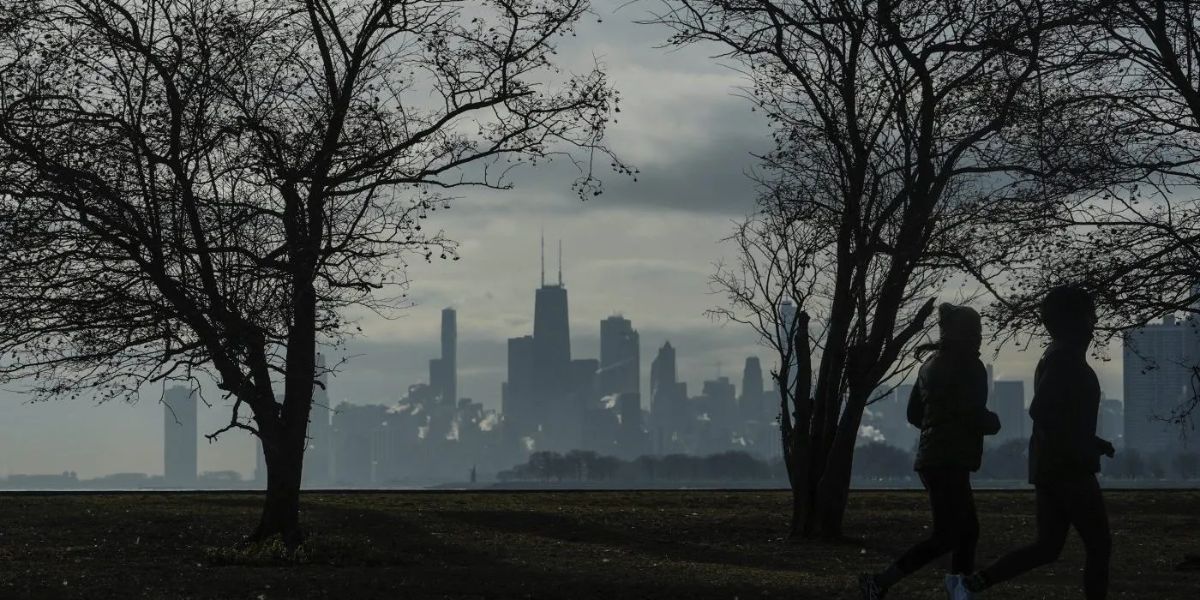
Chicago, IL – Chicago experienced a gloomy and unseasonably mild Tuesday, with temperatures climbing well above normal for early January. Forecasters say fog, rain, and fluctuating temperatures will dominate the forecast through the end of the week, with potential weather impacts ahead of the highly anticipated Bears–Packers game this weekend.
Residents are being advised to prepare for reduced visibility overnight, springlike warmth Thursday, and a possible transition to snow by Saturday evening.
High temperatures reached the 40s on Tuesday, significantly warmer than Chicago’s average January 6 high of 32 degrees. Cloud cover and lingering moisture have set the stage for dense fog overnight, followed by another mild day Wednesday.
A stronger storm system later this week is expected to bring rain and near-record warmth Thursday, followed by falling temperatures and possible rain-to-snow impacts as the weekend approaches.
Tuesday Conditions: Mild but Gloomy
Tuesday remained mostly overcast across the Chicago area, with highs more than 10 degrees above normal. While the mild air kept conditions comfortable for early January, the lack of sunshine and increasing moisture signaled changes ahead.
“It has been a gloomy and mild day with highs well above normal for this time of year,” local meteorologists noted.
The mild pattern is part of a broader system influencing much of the Midwest, allowing warmer air to push northward.
Fog Threat Overnight Into Wednesday Morning
Cloudy skies will continue into Tuesday night, with areas of dense fog possible. Overnight lows are expected to drop into the mid-30s, staying just above the freezing mark for most of the region.
Low visibility could create hazardous driving conditions, particularly during the Wednesday morning commute. Drivers are encouraged to slow down, use low-beam headlights, and allow extra following distance.
Wednesday Forecast: Clouds Give Way to Breaks of Sun
Wednesday is expected to start cloudy, with lingering fog during the morning hours. Forecasters say breaks in the cloud cover are possible by the afternoon, allowing temperatures to rise into the lower 40s.
While conditions should improve later in the day, damp roads and reduced visibility could persist in some neighborhoods through midday.
Thursday: Rain Returns and Temperatures Surge
A more dynamic weather system arrives on Thursday, bringing rain and a dramatic warm-up. High temperatures are expected to soar into the 50s, with some of the warmest readings occurring during the evening hours.
“High temperatures will likely be set in the evening,” forecasters explained, ahead of a cold front expected to move through late Thursday night.
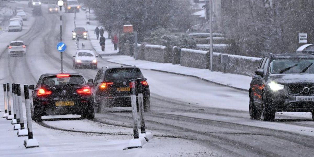
Rain could be steady at times, leading to wet roads and slower travel across the metro area. Additional forecast guidance and safety updates are available through the National Weather Service.
Friday: Cooling Trend After the Storm
Temperatures are expected to fall sharply on Friday behind Thursday’s storm system. While a few lingering showers are possible early, most of the day should trend drier.
Daytime highs are forecast to slip into the low 40s, signaling a gradual return toward more seasonable January conditions. Winds may increase at times, adding a chill to the air.
Weekend Watch: Bears vs. Packers at Soldier Field
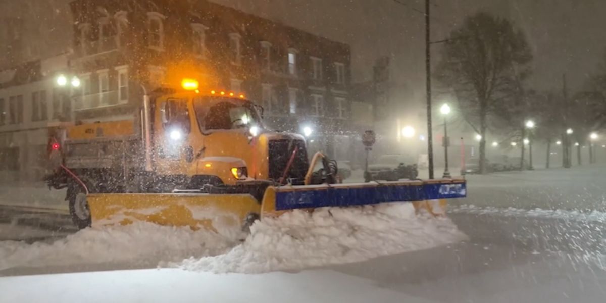
Weather attention now turns to Soldier Field, where the Chicago Bears are set to host the Green Bay Packers on Saturday night. Forecast models currently show a chance for rain and snow moving through the region during the day.
By the scheduled 7 p.m. kickoff, forecasters say any lingering precipitation will likely transition to snow, which could impact travel, tailgating plans, and game conditions.
“We’ll have to watch the forecast closely in the coming days,” meteorologists cautioned, noting that small timing shifts could significantly change impacts.
Fans heading to the game are advised to dress for cold, damp conditions and stay updated on the latest forecasts.
Sunday Outlook: Dry but Seasonably Cold
Conditions are expected to improve by Sunday, with dry skies and temperatures returning to more typical January levels. Highs are forecast to settle into the lower 30s, bringing a crisp end to an otherwise mild and unsettled stretch.
Conclusion
Chicago’s weather this week will feature a little of everything—fog, rain, springlike warmth, and the potential for snow just in time for a major weekend matchup. With changing conditions expected nearly every day, residents and visitors alike should stay alert and plan ahead.
Share your experiences in the comments below.