Manchester, NH – New Hampshire is heading into a warmer stretch of weather as the workweek wraps up, though several rounds of precipitation could create travel concerns, especially late Saturday into Sunday. Forecasters warn that below-freezing temperatures Wednesday night may also lead to black ice early Thursday before milder air arrives.
While daytime conditions improve later in the week, an active weather pattern will continue into the weekend, bringing rain and the potential for a snow and icy mix in parts of the state.
Early Thursday Hazards
Temperatures dropped below freezing Wednesday night, raising concerns for black ice across New Hampshire. Meteorologists caution that lingering wet spots and puddles from previous precipitation could freeze overnight, especially on untreated roads, bridges, and sidewalks.
Drivers heading out early Thursday are urged to slow down and remain alert, as black ice can be difficult to see and may develop in shaded or low-lying areas.
Late-Week Warmup Begins
A noticeable warming trend begins Thursday as high temperatures climb into the 40s across much of the state. Skies will be partly to mostly sunny, making for a more comfortable afternoon compared to recent days.
Clouds may linger across the White Mountains and higher terrain of western New Hampshire, but overall conditions are expected to be dry. Light winds and milder temperatures should help reduce lingering ice issues by late morning.
Friday Brings Another Round of Showers
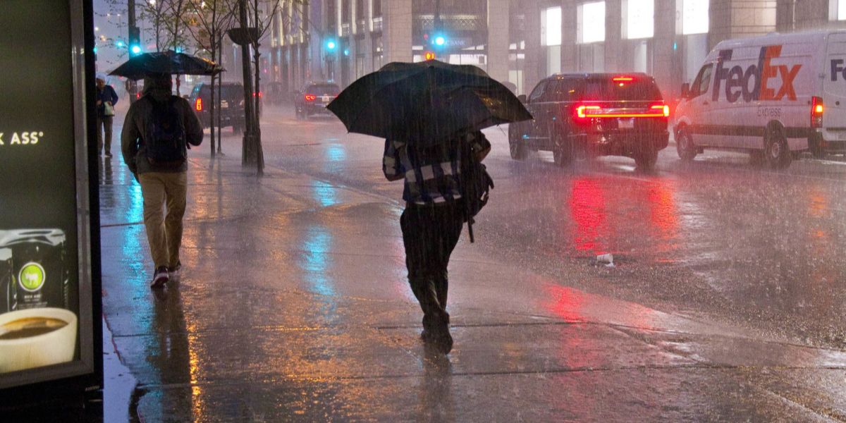
Another weak weather system is expected to move into the region Friday afternoon, continuing the unsettled pattern. Temperatures will again rise into the 40s, which means precipitation will fall primarily as rain showers.
While rainfall amounts are not expected to be heavy, the timing could impact afternoon and evening travel.
Weekend Outlook: Rain, Then a Wintry Mix
The active pattern carries into the weekend, with changing conditions from Saturday into Sunday.
Saturday is expected to remain dry during the daytime hours, though skies will stay mostly cloudy. Conditions will begin to change Saturday night as rain moves into southern New Hampshire.
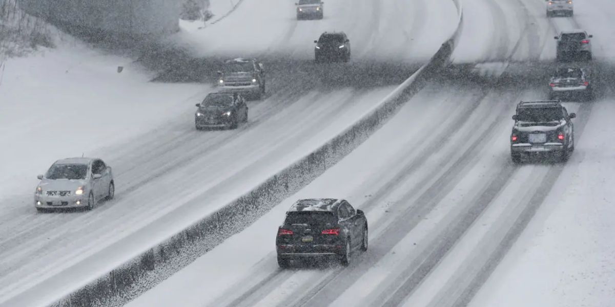
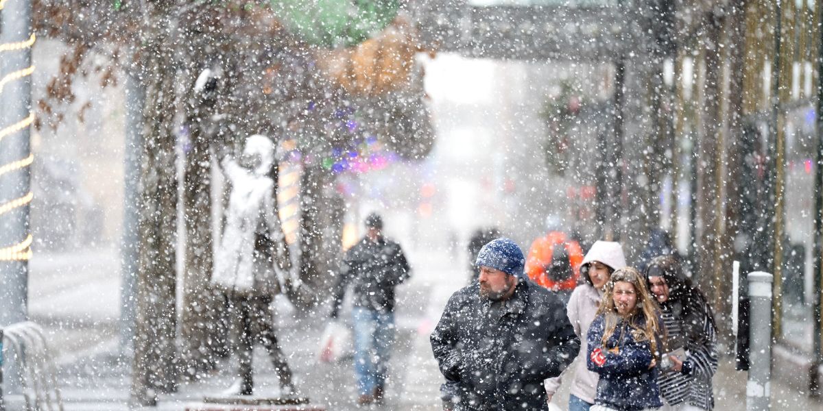
As temperatures fall overnight, forecasters say central and northern New Hampshire could see a transition from rain to snow or an icy mix, depending on how quickly colder air moves in.
Travel Impacts Late Saturday Night
Travel conditions may become more hazardous late Saturday night into Sunday morning, particularly in areas that see freezing or mixed precipitation. Slick roads and reduced traction are possible, especially on secondary roads and in higher elevations.
Rain and mixed precipitation could linger into mid-morning Sunday, before gradual clearing develops during the afternoon.
Conclusion
New Hampshire’s late-week warmup will bring a welcome break from colder temperatures, with highs climbing into the 40s Thursday and Friday. However, rain showers and the potential for snow and icy mix this weekend could create travel challenges, especially late Saturday into Sunday morning.
Residents are encouraged to stay informed as forecasts are updated and to take precautions during periods of freezing or mixed precipitation.
Share your experiences in the comments below.