Houston, TX – A stronger weather system is set to move through the Houston area Friday into Friday night, bringing the best chance for showers and thunderstorms so far this year. The system will mark a significant pattern shift, ending an extended stretch of record-breaking warmth and ushering in cooler, more seasonable January weather for the weekend.
Unseasonably Warm and Breezy Conditions
Houston has remained locked in a very warm pattern for early January, with temperatures more typical of spring than winter. Persistent southerly winds have helped push warm, humid air into Southeast Texas, driving afternoon highs into the upper 70s and low 80s.
On Thursday, Houston officially reached 80 degrees at Bush Intercontinental Airport, surpassing the record high of 79 degrees for the date. Skies remained mostly cloudy, and breezy conditions continued throughout the day.
Forecasters say the warm and humid pattern will hold into Friday morning, with light showers possible overnight but no widespread rain before the main system arrives.
Friday Storm Threat Increases
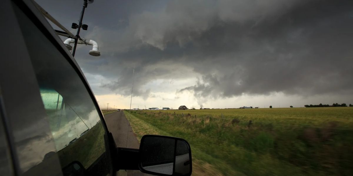
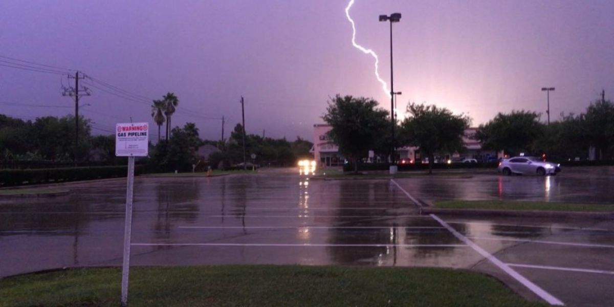
The primary weather concern arrives Friday as a cold front pushes toward Southeast Texas. Showers and thunderstorms are expected to develop late morning through the afternoon, with activity increasing into Friday evening.
Some storms could become briefly heavy, and strong, gusty winds are possible as the front moves through. Forecasters note that isolated strong storms may develop ahead of the front during midday and Friday afternoon.
The Houston area will be under a Level 1 out of 5 risk for severe storms, which includes the potential for:
- Damaging wind gusts
- Heavy downpours
- A very low tornado risk, estimated at around 2%
While the overall severe threat is limited, officials urge residents to remain weather-aware Friday afternoon and evening, especially during peak travel hours.
Pattern Shift Signals End of Warm Spell
Friday’s storms will signal a clear pattern change heading into the weekend. Once the cold front passes, temperatures will fall noticeably, bringing a return to a more typical January feel.
Highs this weekend are expected to drop into the 50s and low 60s, a sharp contrast to the near-record warmth earlier in the week. Morning temperatures will feel especially cooler, with lows dipping into the 40s.
While freezing temperatures are not expected, forecasters say overnight and daytime readings will trend at or slightly below average, effectively ending Houston’s prolonged stretch of unseasonable warmth.
Weekend Outlook and Marathon Weather
The cooler, drier air will linger into early next week, making for more comfortable outdoor conditions overall. One notable impact will be felt during Sunday morning’s marathon, when temperatures are expected to be in the low 40s at the start.
Participants are advised to bundle up before the race, though many runners are expected to welcome the cooler and less humid conditions compared to the recent heat.
By Sunday afternoon, sunshine and dry weather should help temperatures rebound slightly, though conditions will remain far cooler than earlier in the week.
Public Safety and Preparedness Tips
Officials recommend residents take the following precautions:
- Stay alert for weather updates Friday afternoon and evening
- Secure loose outdoor items ahead of gusty winds
- Use caution on roads during heavy rain
- Dress in layers this weekend as temperatures cool significantly
- Prepare for chilly conditions Sunday morning, especially for outdoor events
Conclusion
Houston is set to experience a dramatic weather shift, with strong storms possible Friday followed by a sharp cool-down for the weekend. While severe weather risks remain limited, the combination of heavy rain, gusty winds, and falling temperatures makes Friday an important day to stay informed. Cooler, more seasonable January weather will settle in by the weekend and continue into early next week.
Share your experiences in the comments below.