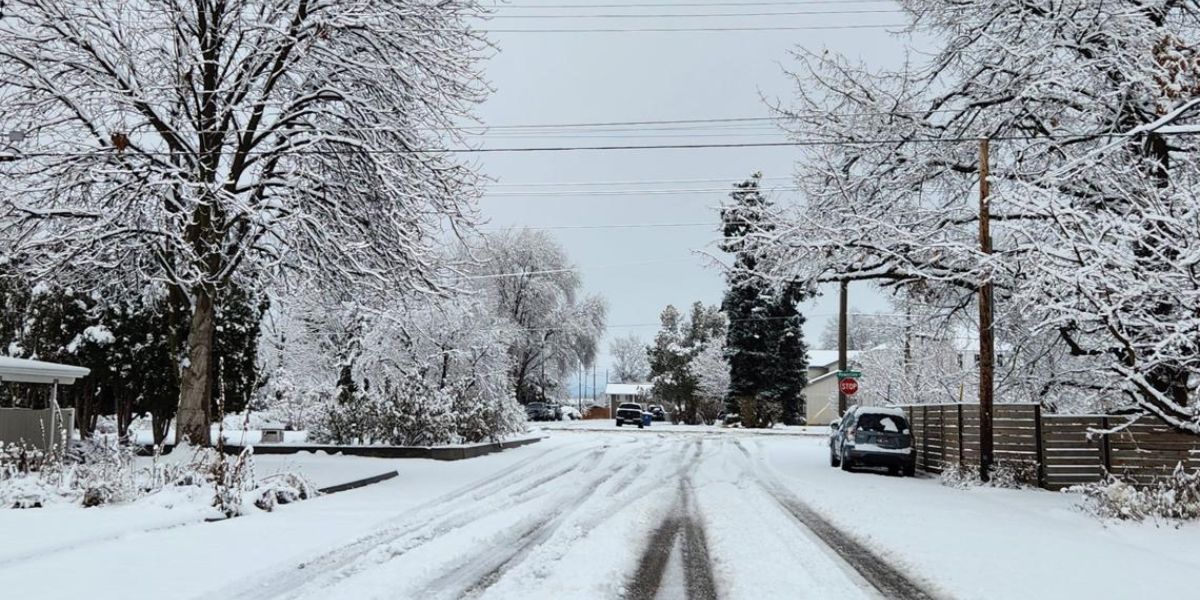
Seattle, WA. – After several days of unsettled weather, the Puget Sound region is expected to see a welcome break from rain as showers taper off Thursday night, leading into a drier and calmer end to the week. Meteorologists say this brief stretch of dry weather will be followed by another round of rain on Sunday, along with milder temperatures and rising snow levels early next week.
Showers Taper Off Thursday Night
Rain will gradually come to an end for most of the central and southern Puget Sound area late Thursday night. While a few lingering showers may continue into Friday morning, these will mainly be confined to the north Sound and the Cascades.
Forecasters say this transition will improve overnight and early-morning travel conditions heading into Friday. Any residual damp roads should dry out by midday, especially in urban and lowland areas.
High Pressure Brings a Drier End to the Week
The improving conditions are being driven by high pressure building over Western Washington from Friday into Saturday. As this system settles in, it will suppress widespread rainfall and allow for more stable and dry weather across much of the region.
Daytime high temperatures will rise into the upper 40s to near 50 degrees, which is close to seasonal norms for early January. Overnight lows will remain cool, particularly in areas that clear out completely, allowing temperatures to dip into the upper 30s.
This stretch of drier weather may be short-lived, but it offers an opportunity for residents to catch up on outdoor errands and travel plans without the persistent rain that has dominated recent forecasts.
Big Picture Weather Pattern
Meteorologists say the broader weather pattern remains active, even with the temporary dry spell. Pacific systems continue to line up offshore, and once the high-pressure ridge shifts east, moist onshore flow will quickly return.
This means that while Friday and Saturday will feel calmer, residents should not expect a long-term break from wet weather typical of winter in Western Washington.
Rain Returns on Sunday
The next system is expected to move into the region on Sunday, bringing widespread rain, especially to the Olympic Peninsula, where the heaviest precipitation is forecast.
Rain will gradually spread into the Puget Sound lowlands later Sunday and continue into Monday. While this system does not currently appear strong enough to cause significant flooding, forecasters say it will bring steady showers and renewed wet conditions across the region.
Drivers and commuters should be prepared for slick roadways and reduced visibility, particularly during periods of heavier rain.
Warmer Temperatures and Rising Snow Levels
As the rain returns, temperatures will also trend warmer. Lowland highs are expected to climb into the mid-50s on Monday and Tuesday, making it feel noticeably milder compared to recent days.
At the same time, snow levels will rise to around 7,000 feet on Monday, meaning most precipitation will fall as rain rather than snow at pass level. This could help reduce winter travel impacts in mountain passes, but it also introduces another concern.
River Levels to Be Monitored
While river flooding is not forecast at this time, meteorologists say melting snow combined with rainfall early next week could lead to rising river levels in some basins.
Officials emphasize that even gradual warming can contribute to runoff, especially when paired with steady rain. River conditions will be monitored closely, particularly in areas that are historically prone to flooding.
Residents living near rivers, streams, and low-lying areas are encouraged to stay informed and be prepared for potential advisories if water levels rise.
Looking Ahead
Beyond early next week, the overall pattern suggests continued periods of rain, interspersed with brief breaks, which is typical for January in Western Washington. Temperatures are expected to remain near or slightly above normal, limiting lowland snow potential but increasing the importance of monitoring runoff and river responses.
Conclusion
The Puget Sound region is heading into a short-lived dry stretch as showers taper off Thursday night and high pressure builds through Saturday. Rain will return on Sunday, accompanied by milder temperatures, rising snow levels, and renewed wet conditions into early next week. While flooding is not expected at this time, forecasters will keep a close eye on rivers as snow begins to melt.
Share your experiences in the comments below.