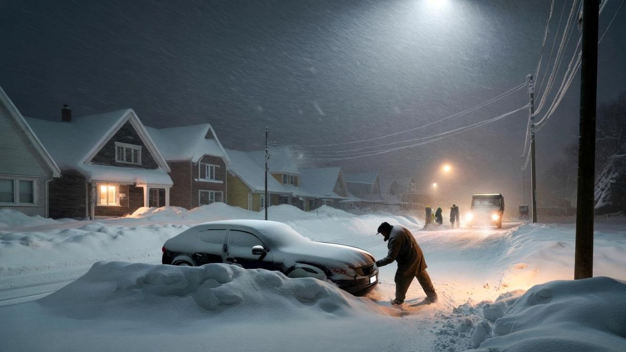
Manchester, NH – Another round of winter weather is set to impact New Hampshire, with snow and icy conditions expected to slow travel from late Tuesday night into Wednesday morning. Statewide impacts have prompted officials to issue a winter weather advisory, warning drivers to prepare for hazardous road conditions during the morning commute.
Forecasters say while snowfall totals are not extreme, a mix of snow and ice combined with early-morning timing could significantly affect travel across much of the state.
Incident Overview
A winter weather advisory is in effect for the entire state of New Hampshire through midday Wednesday, as a system brings a wintry mix beginning late Tuesday and continuing into early Wednesday morning. The primary concern is slick and snow-covered roads, especially during peak commuting hours.
Officials caution that even modest snowfall amounts can lead to dangerous conditions when combined with freezing temperatures and untreated roadways.
Wintry Mix Late Tuesday Into Early Wednesday Morning
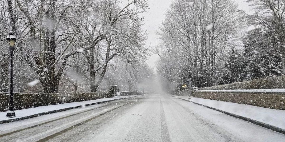
Snow is expected to develop Tuesday night, spreading across much of the state overnight. Many locations could see a coating to 2 inches of snow, along with periods of mixed precipitation.
Heavier snowfall is anticipated north and west of Concord, where 2 to 4 inches of snow are likely before the system tapers off Wednesday morning. In these areas, snow-covered and icy roads may persist longer into the day.
“Travel will be impacted by snowy and icy road conditions into the Wednesday morning commute,” forecasters warned.
Urban areas, including Manchester, may see slightly lower totals but could still experience slick conditions due to compaction and refreezing during the early morning hours.
Details From Weather Officials
According to guidance from the National Weather Service, the advisory was issued to alert residents statewide to the potential for hazardous travel conditions, particularly during the overnight and early-morning hours. Drivers are urged to slow down, allow extra travel time, and check local road conditions before heading out. Additional advisory details are available through the National Weather Service.
Key Facts at a Glance
- Advisory Type: Winter Weather Advisory
- Coverage Area: Entire state of New Hampshire
- Timing: Late Tuesday night through midday Wednesday
- Expected Snowfall:
- Up to 2 inches in many areas
- 2–4 inches north and west of Concord
- Primary Impact: Wednesday morning commute
Wednesday Afternoon Improvement
Conditions are expected to gradually improve by Wednesday afternoon, as precipitation moves out and temperatures begin to rise. Highs are forecast to approach the upper 30s to near 40 degrees in some parts of the state, helping melt lingering snow and ice.
Road conditions should steadily improve through the afternoon, though shaded or untreated areas may remain slippery.
Looking Ahead: Warming Trend Late Week
A noticeable warming trend is forecast for the latter part of the week. Temperatures are expected to top the 40s on both Thursday and Friday, signaling a temporary break from wintry conditions.
Skies are forecast to be mostly sunny on Thursday, offering a favorable day for travel and outdoor activities. However, rain showers are expected to return on Friday, particularly during the afternoon hours, which could lead to wet road conditions.
Weekend Outlook
The unsettled pattern may continue into the weekend, with additional rain showers possible Saturday afternoon and evening. While widespread winter weather is not currently expected, changing conditions could still impact travel plans.
Travel Safety and Awareness
Drivers are urged to exercise caution, especially overnight and early Wednesday. Reducing speed, increasing following distance, and ensuring vehicles are winter-ready can help prevent accidents. Pedestrians should also be mindful of icy sidewalks and parking lots.
Conclusion
While this winter system is not expected to be severe, its timing during overnight hours and the morning commute increases the potential for travel disruptions across New Hampshire. Residents are encouraged to stay alert, monitor forecasts, and plan accordingly as conditions improve later Wednesday.
Share your experiences in the comments below.