Sarasota, FL – Above-average temperatures are expected to persist across Sarasota through Saturday, with the potential for record-breaking warmth on both Thursday and Friday. Forecasters are also monitoring recurring nighttime fog and a weak cold front expected to arrive Sunday, bringing cooler air but little rainfall.
While the warm spell may feel more like late spring than winter, changing conditions this weekend could impact travel, boating, and outdoor plans across the region.
Sarasota and surrounding areas are forecast to remain well above seasonal averages, with highs approaching or exceeding record levels in the mid-80s through the end of the workweek. The warm, humid pattern will also create favorable conditions for overnight and early-morning fog, potentially affecting drivers during the morning commute.
A cold front is expected to move through the area on Sunday afternoon, bringing a noticeable cooldown for early next week but only limited rainfall.
Above-Average Temperatures and Record Potential
Temperatures across Sarasota are expected to stay above average through Saturday, with Thursday and Friday presenting the best opportunity for record warmth. Historical records for this time of year sit in the mid-80s, and forecasters say current conditions could challenge those marks.
The unusually warm pattern is being driven by persistent southerly flow and high humidity levels, allowing daytime temperatures to climb while nighttime lows remain mild.
“Temperatures are expected to stay above average through Saturday with the possibility of record warmth both Thursday and Friday,” local forecasters noted.
Residents are advised to stay hydrated and take breaks during prolonged outdoor activities, particularly during peak afternoon heat.
Fog Threat Returns Overnight

Fog development is expected to remain a concern over the next several nights. Forecasters say conditions are ideal for fog formation, including clear skies, light winds, and high dew point temperatures.
These factors allow moisture to condense near the ground, leading to reduced visibility late at night and during the early morning hours.
“Clear skies, light winds and high dew point temperatures are what you need, and that is what we will see over the next couple of nights,” meteorologists explained.
Drivers should be prepared for localized dense fog, particularly in low-lying areas and near bodies of water. Reduced visibility could impact early-morning commutes through at least Friday morning.
Weekend Cold Front Approaches
A cold front is forecast to arrive in the Sarasota area on Sunday, with current projections placing its passage in the early afternoon hours. While cold fronts often bring widespread rain, this system is expected to be relatively weak.
Forecasters do not expect significant rainfall, with only a few passing showers anticipated as the front moves through the region.
Despite the lack of rain, the front will mark a shift in the overall weather pattern, ushering in cooler and less humid air for the start of next week.
Cooler Temperatures Early Next Week
Behind the cold front, temperatures will cool noticeably. Highs on Monday are expected to reach only the upper 60s to low 70s, a significant change from the near-record warmth of late week.
For the remainder of the workweek next week, daytime highs are forecast to remain in the low to mid-70s, offering more seasonable and comfortable conditions.
Overnight lows are also expected to dip, reducing the likelihood of fog compared to the current warm and humid setup.
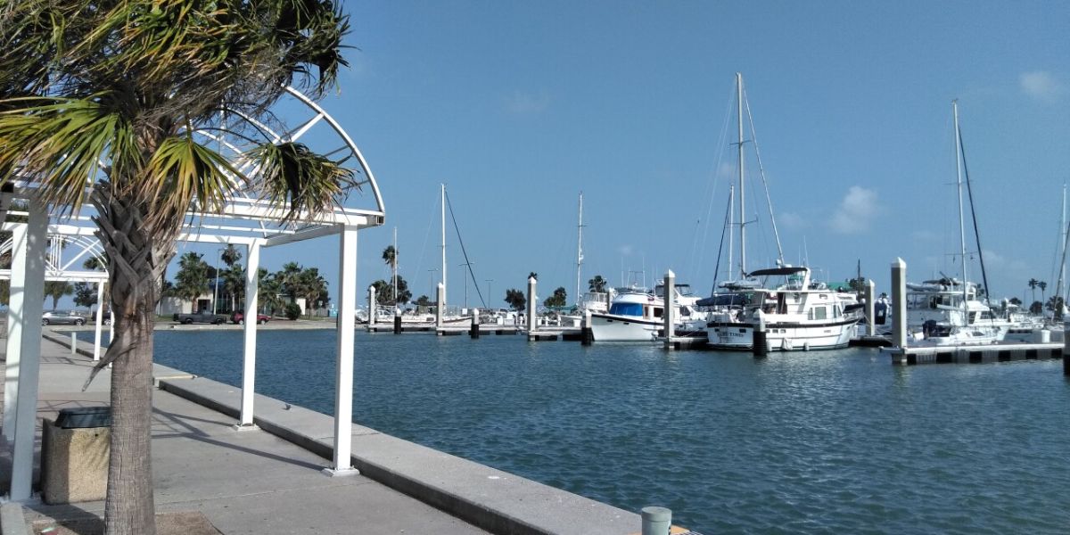
Marine and Boating Conditions
For boaters, conditions remain relatively calm in the near term. On Wednesday, winds are expected to be out of the south at around 5 knots, with seas staying fairly smooth throughout the day.
While favorable marine conditions are expected midweek, boaters should continue to monitor forecasts as the weekend cold front approaches. Updated marine advisories and local forecasts are available through the National Weather Service.
Conclusion
Sarasota’s forecast features a blend of near-record warmth, recurring fog, and a modest cold front that will bring cooler temperatures but little rain. While impacts are expected to be manageable, staying aware of changing conditions will help residents plan safely through the weekend and into next week.
Share your experiences in the comments below.